About this place
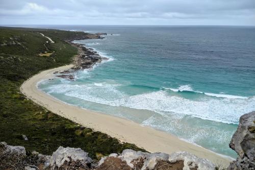
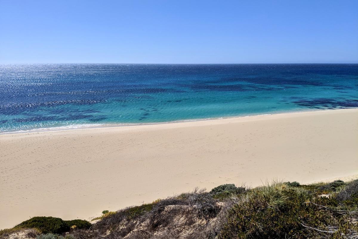
The name Injidup comes from the Nyoongar word inji for the lovely red pea flower (Templetonia retusa) that grows along the limestone cliffs in spring.
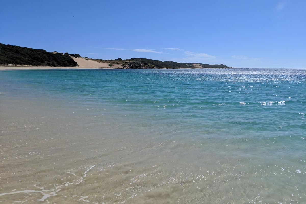
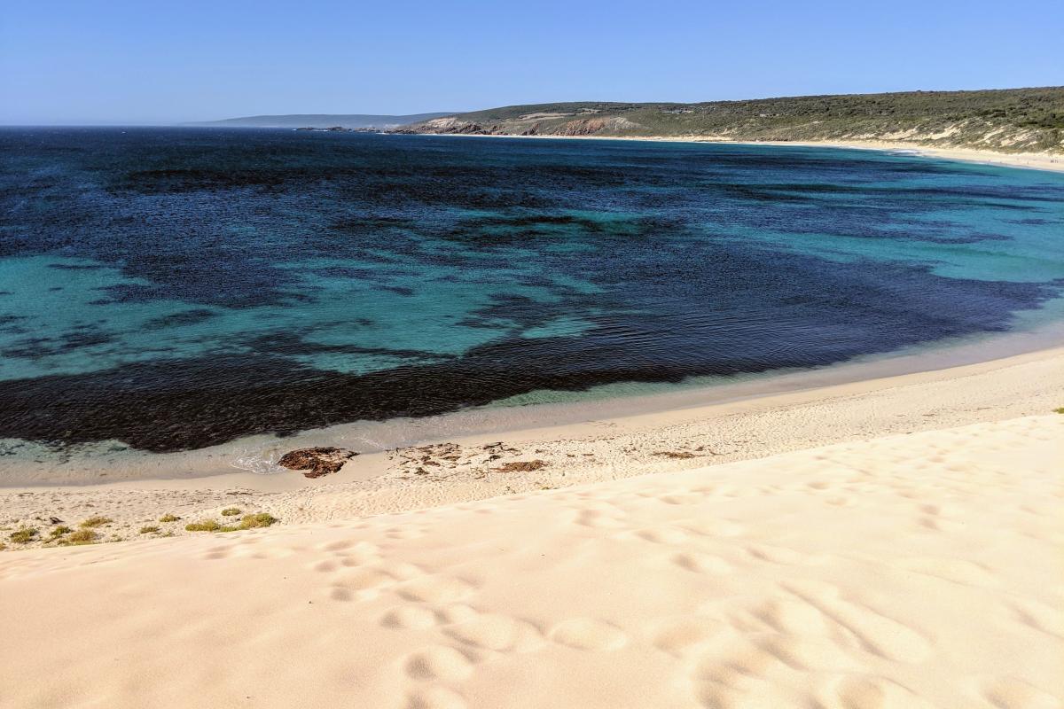
Cape Clairault forms the southern arm of the bay. It was named by a French expedition (1801–1803) after mathematician Alexis Clairault (1713–1765), who is best known for confirming theories of gravitation, including predicting the return of Halley’s Comet.
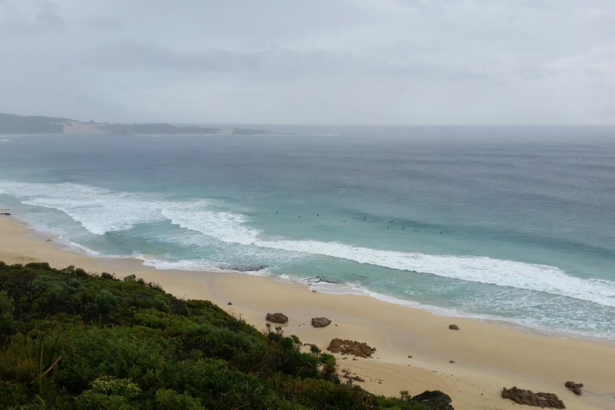
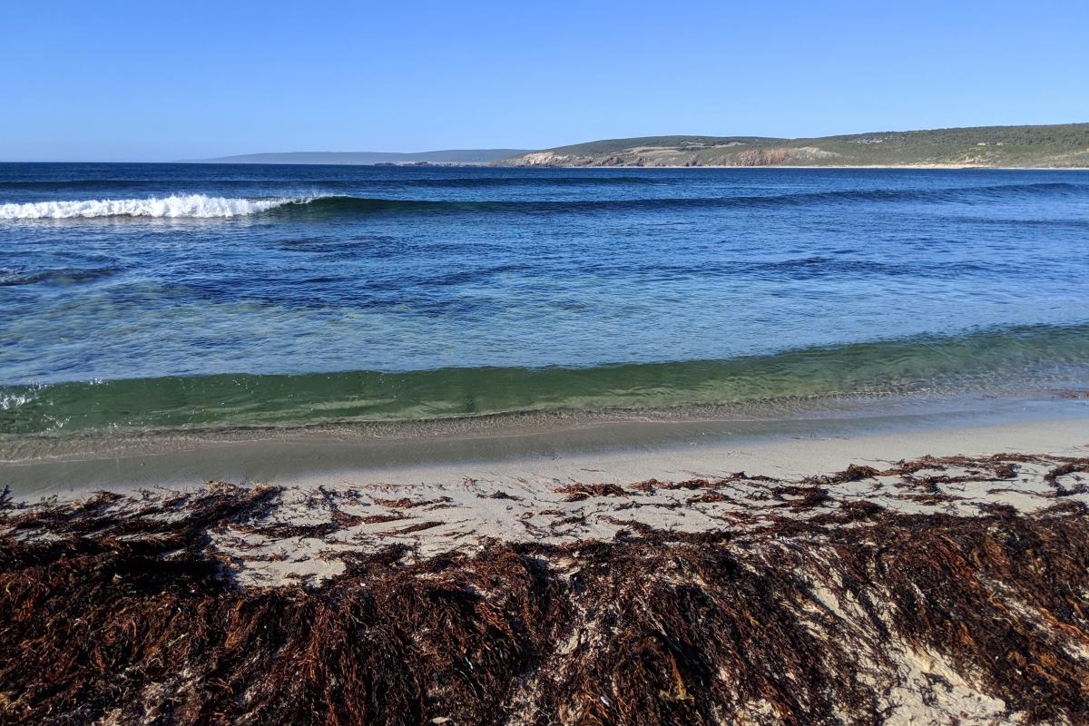
Injidup Point surf break is an exposed break with fairly consistent surf. It's a left hand reef with offshore winds from the south.
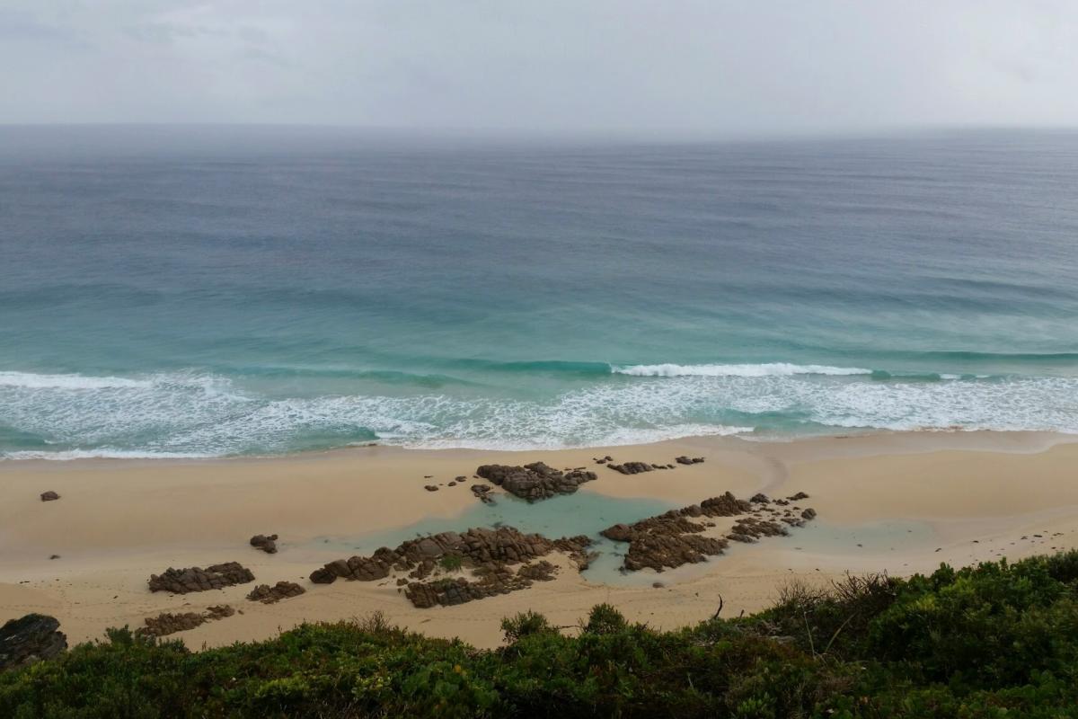
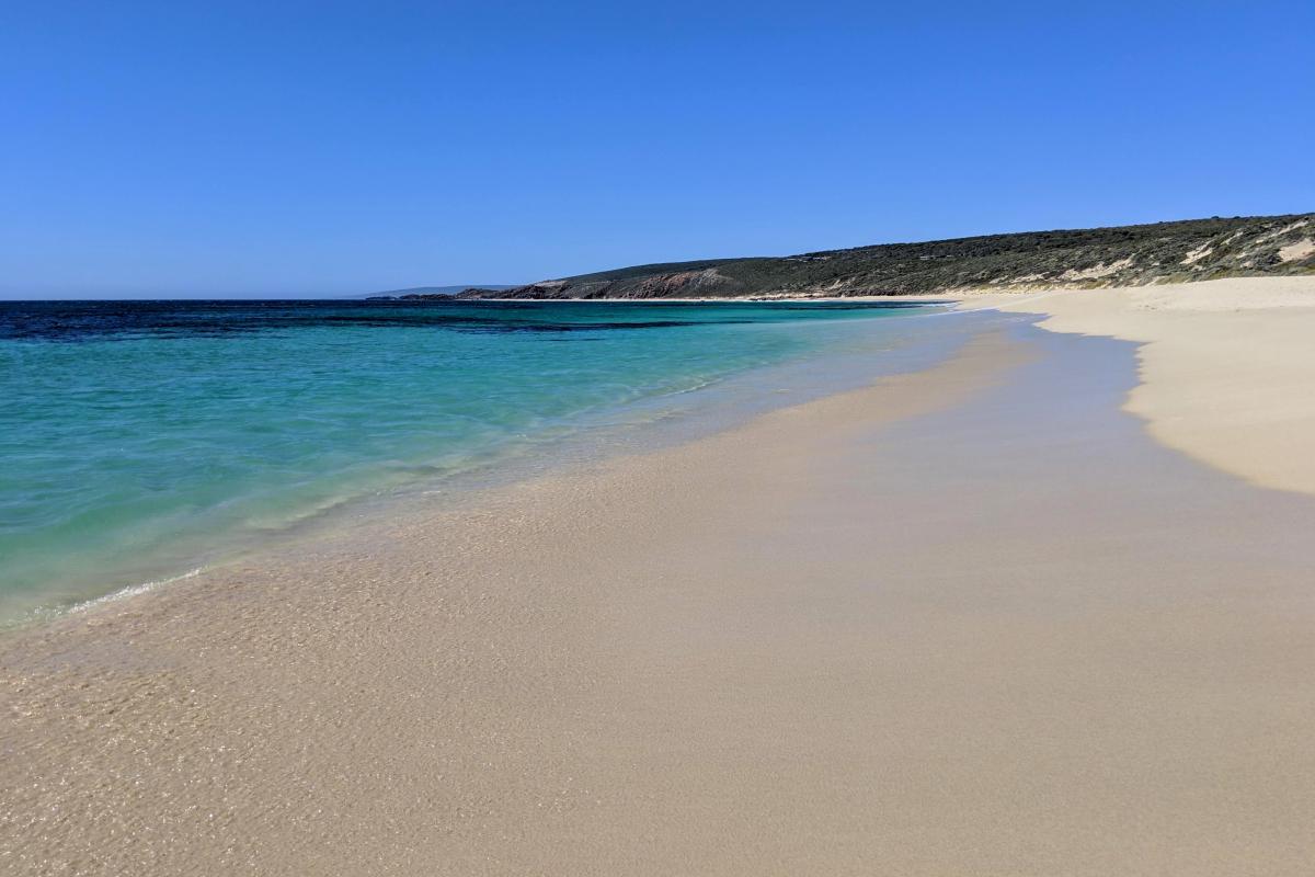
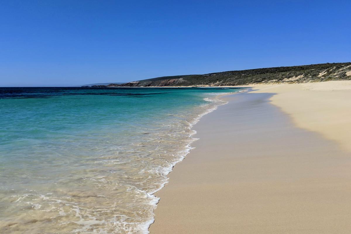
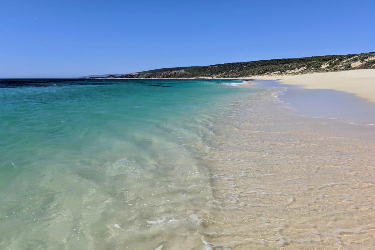
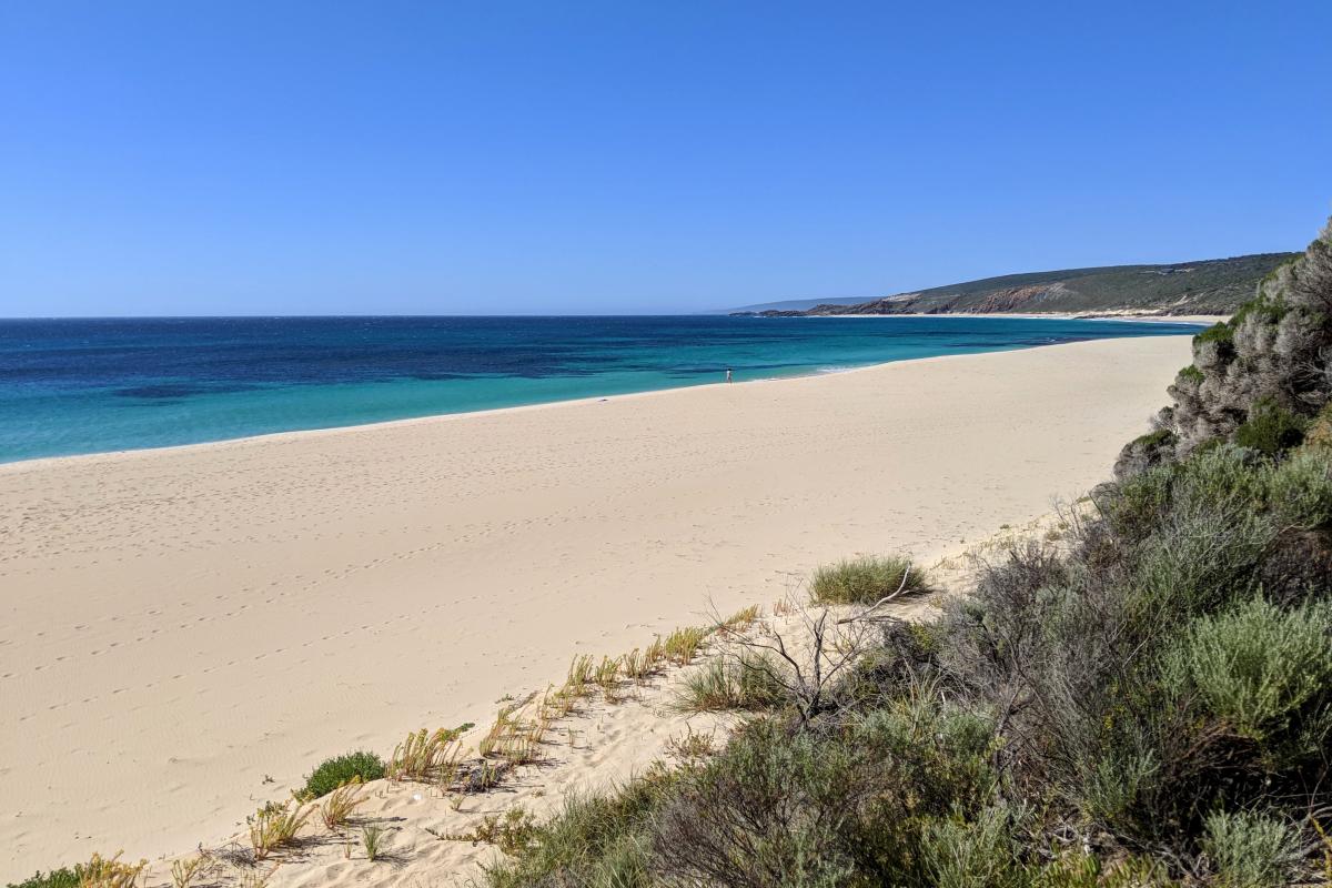
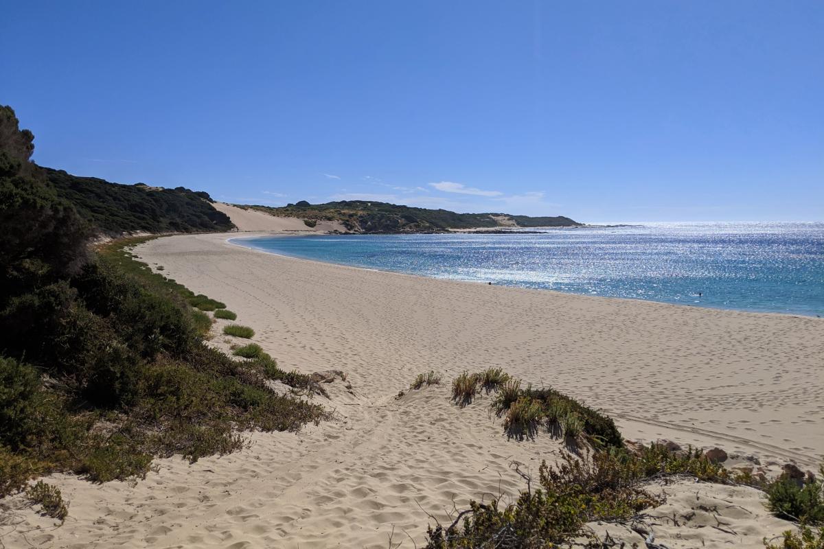
Injidup Beach is adjacent to the eastern edge of the Injidup Sanctuary Zones. Fishing from recreational or commercial vessels is not permitted in this zone, however, fishing from shore is permitted. For more information visit Fisheries.
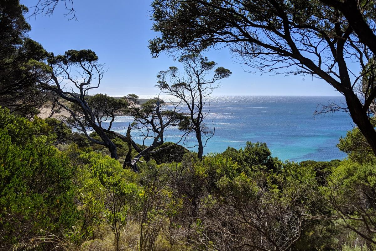
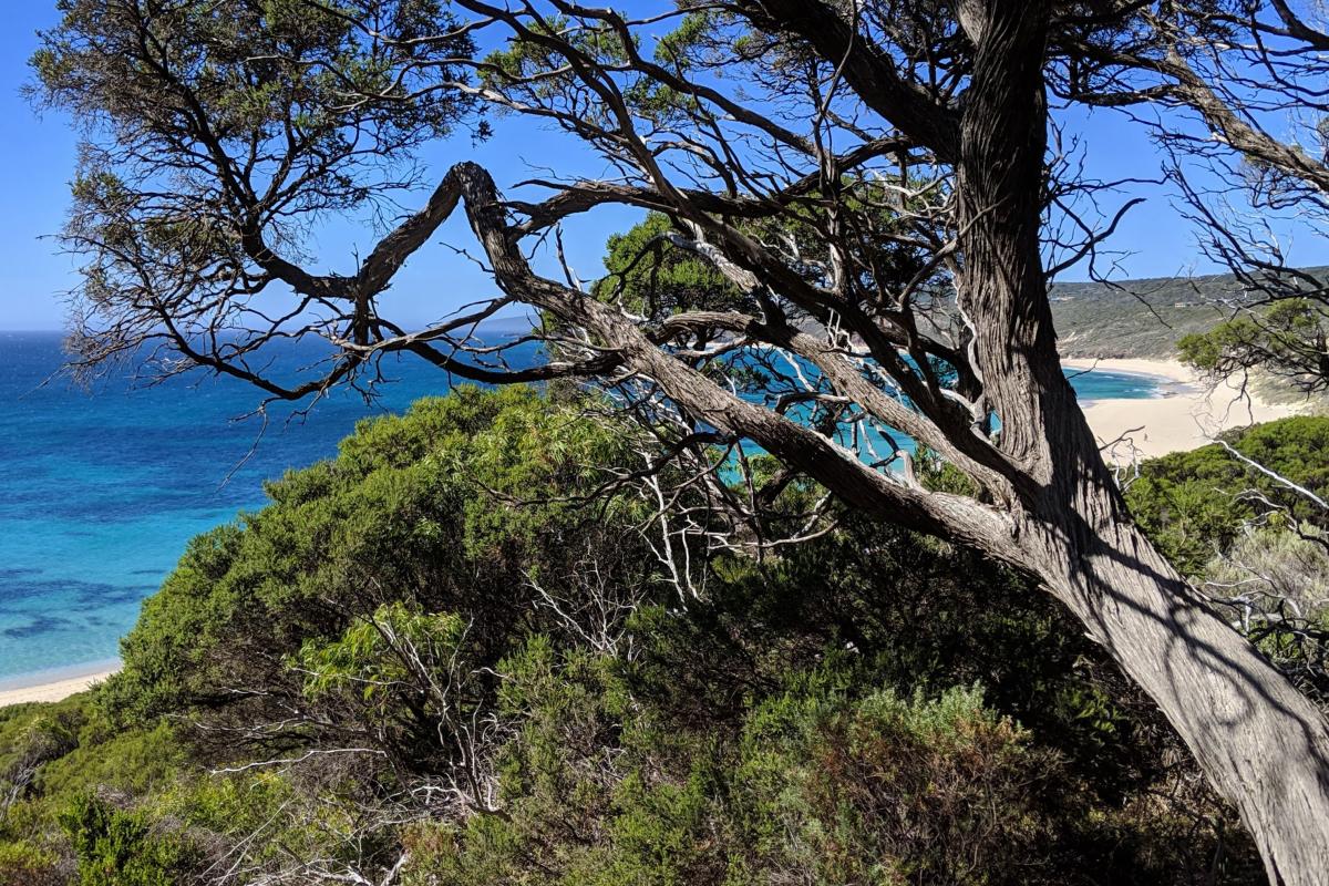
For those who enjoy bushwalking, a scenic section of the Cape to Cape Track runs from Injidup Beach to Wyadup Rocks (2.6km one way) or to Smiths Point (5.8km one way). This beautiful walk follows the coastline and offers sweeping ocean views.
Safety information
Plan when to visit. Read this safety information about surfing, fishing, bushwalking and swimming. Consider travelling with a personal location beacon (PLB). In the event you need to be rescued it could save your life!
Gallery
Facilities
Toilet
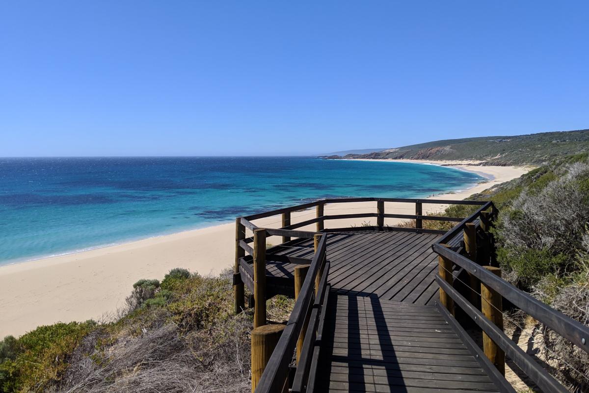
Lookout/Deck
Activities
Bushwalking

Fishing
Surfing

Plants, wildlife and fungi
Visit the Atlas of Living Australia for a list of species recorded within a 5km radius of Injidup Beach.
Traditional Owners
We recognise and acknowledge Wardandi people as the Traditional Owners of Leeuwin-Naturaliste National Park.