Western Australian State Government Logo
Parks and Wildlife Service logo
Explore Parks logo

Main navigation

  • Home
  • Explore WA's parks

    All parks

    Park Finder Map

    Attractions and places to visit

    Trails

    Regions of WA

    • Australia's South West
    • Australia's Coral Coast
    • Australia's North West
    • Australia's Golden Outback
    • Destination Perth
  • Experiences
  • Activities
  • Know before you go

    Know before you go

    Get the practical ‘know how’ to adventure into Western Australia’s national parks confidently, responsibly and safely.

  • Get inspired
  • Where to stay
  • Park alerts

Breadcrumb

  1. Home
  2. Monadnocks Conservation Park
  3. Sullivan Rock

Sullivan Rock

We recognise and acknowledge Aboriginal people as the Traditional Owners of Monadnocks Conservation Park.

A huge, low granite dome surrounded by jarrah forest, and a popular access point for the Bibbulmun Track.

No dogs

No park entry fee

Sullivan Rock
Bronwyn Wells

About this place

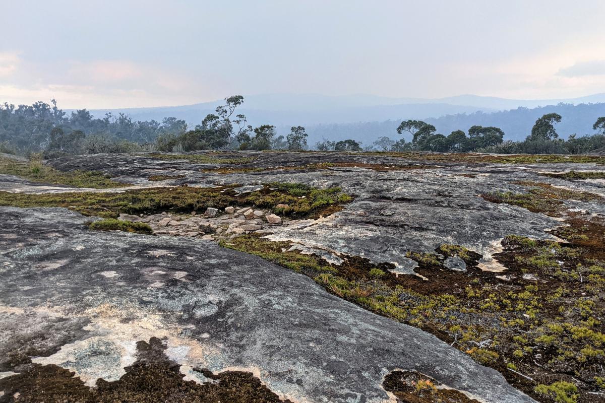
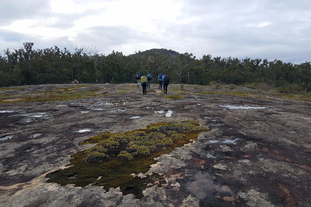
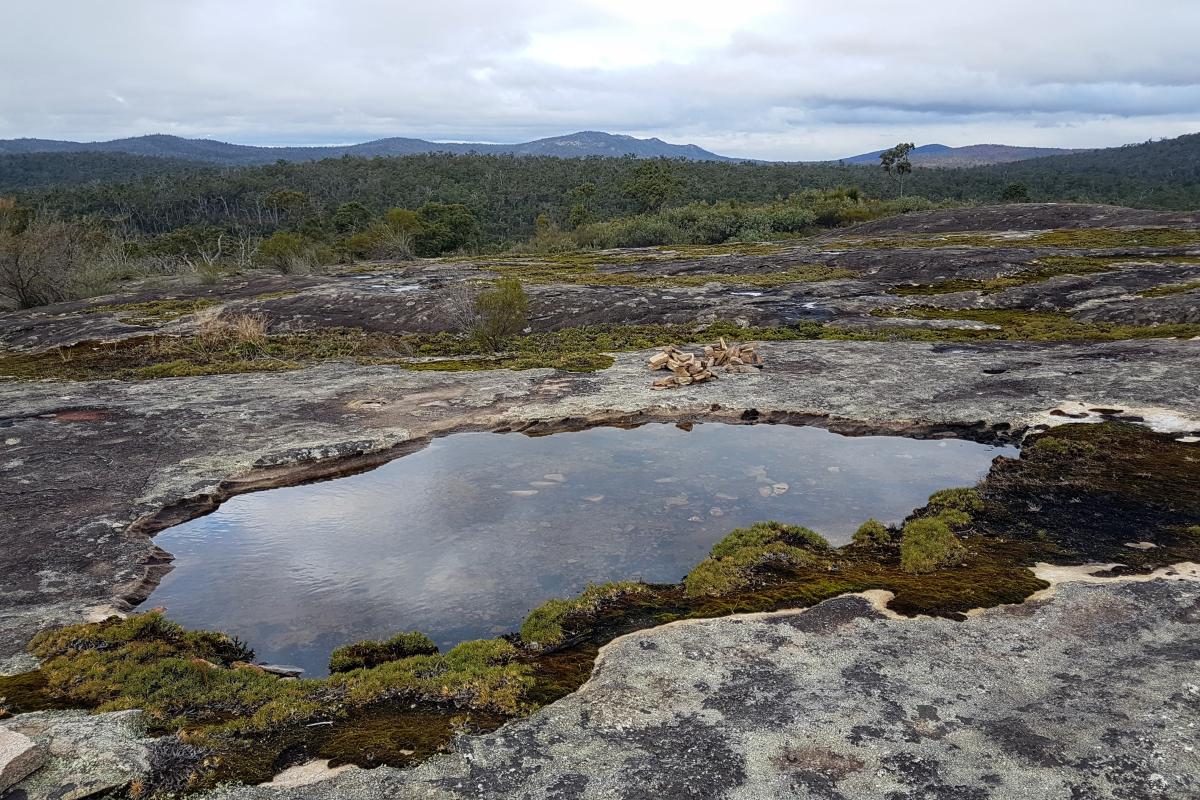
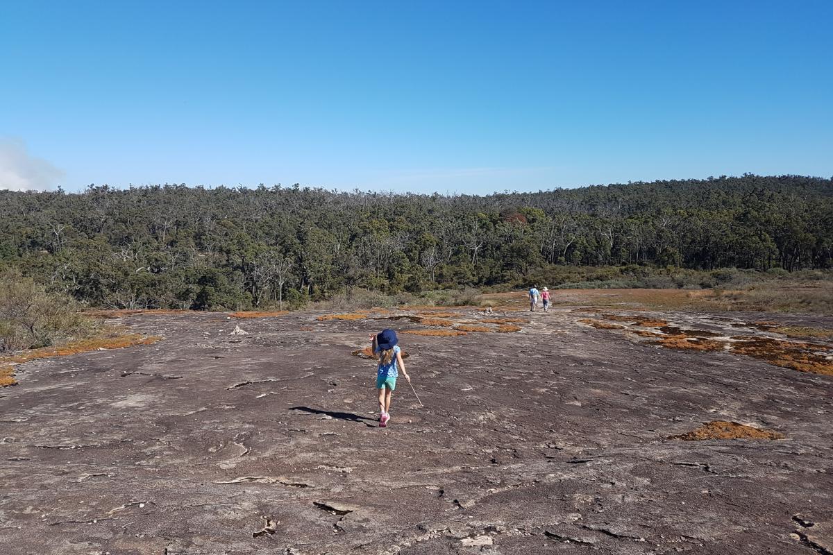
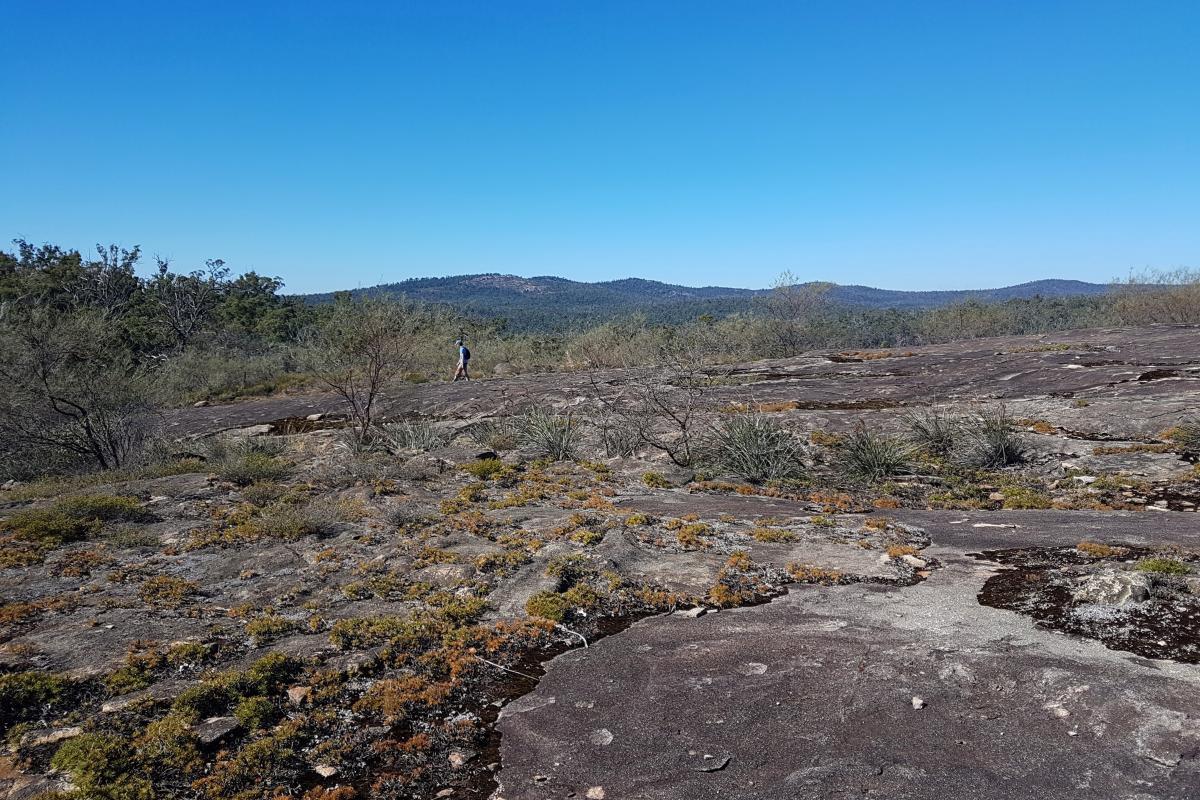
The granite outcrop is covered in mosses and lichens that turn bright green and dry out to orange and yellow with the changing seasons throughout the year. Avoid treading on the moss. During the rainy season you'll even find rock pools. The elevated, open expanse of the rock allows for views of the surrounding hills including Mount Vincent and the ridge line of Mount Cooke to the south-east.

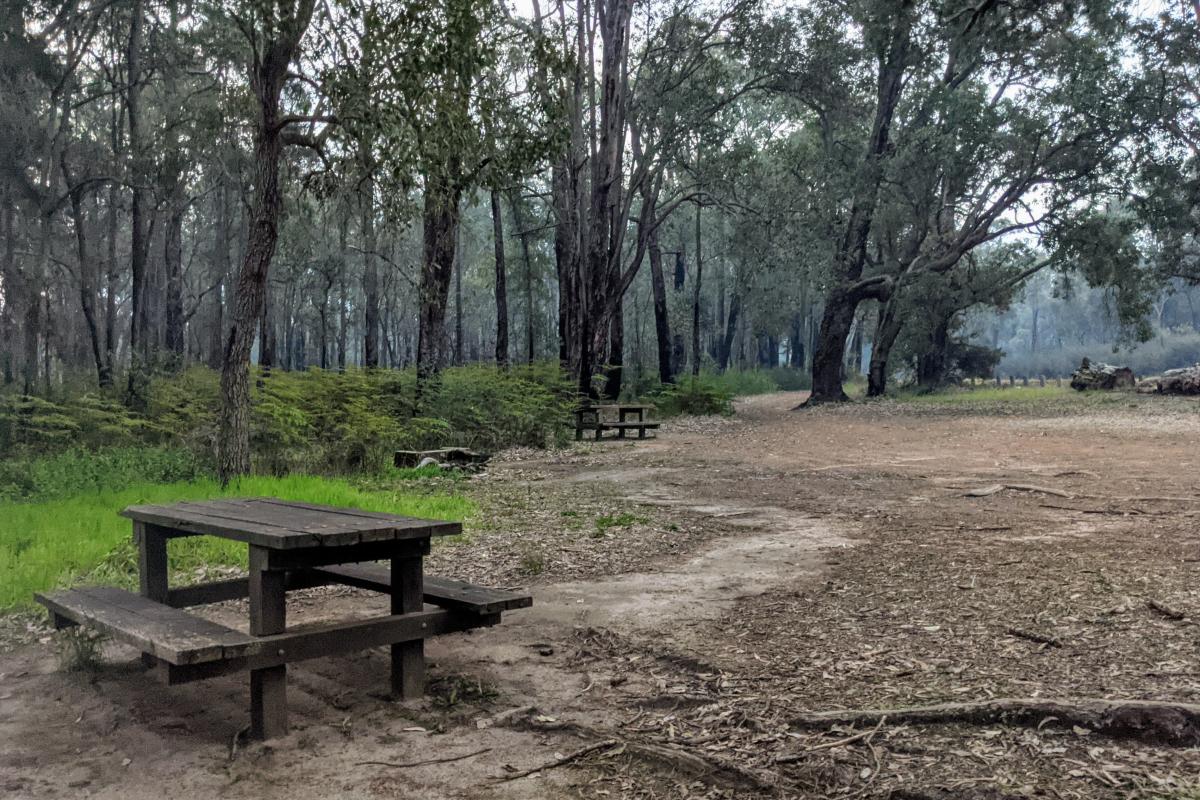
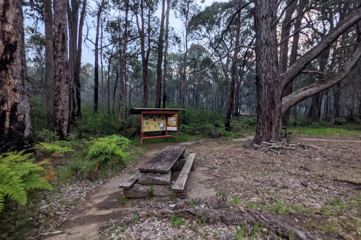
A small picnic area beneath shady pine trees across the road from Sullivan Rock has picnic tables and space for parking. Please bring your own drinking water and take your rubbish home.

The Bibbulmun Track, a long distance walking trail, goes right past Sullivan's Rock. The Sullivan Rock parking area is a popular access point to the track.

Back to Monadnocks Conservation Park

Safety information

Plan when to visit. Consider travelling with a personal location beacon (PLB). In the event you need to be rescued it could save your life!

Gallery
Image
Picnic table and Bibbulmun Track info shelter at Sullivan Rock
Sullivan Rock
Bronwyn Wells
Image
Picnic and parking area adjacent to Albany Highway, across the road from Sullivan Rock
Sullivan Rock
Bronwyn Wells
Image
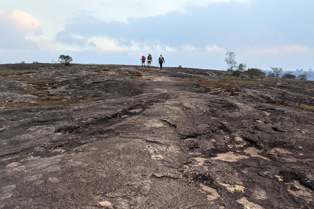
3 hikers on Sullivan Rock
Sullivan Rock
Bronwyn Wells
Image
moss covers areas of Sullivan Rock
Sullivan Rock
Bronwyn Wells
Image
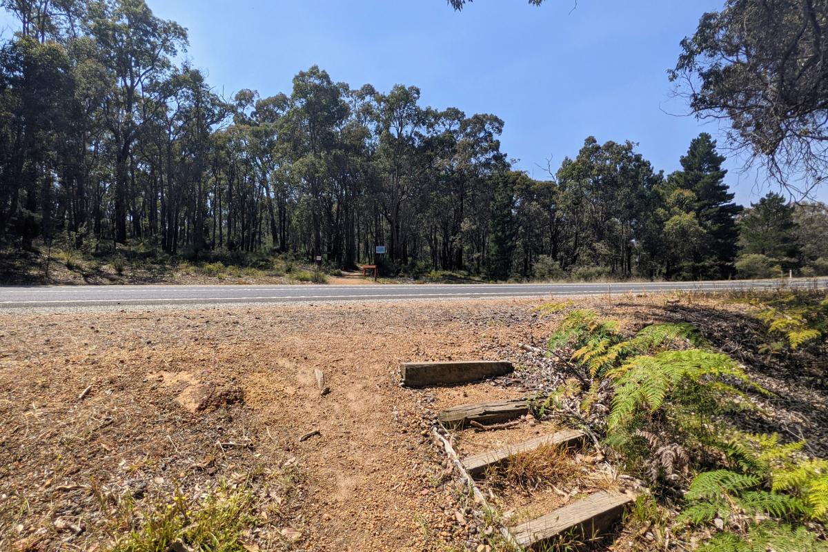
Highway crossing at Sullivan Rock from the carpark to the trail that leads to the rock
Sullivan Rock
Bronwyn Wells
Image
a group of people hiking over sullivan rock
Sullivan Rock
Bronwyn Wells
Image
pool of water on the top of sullivan rock monadnocks
Sullivan Rock
Bronwyn Wells
Image
Sullivan Rock
Sullivan Rock
Bronwyn Wells
Image
Sullivan Rock
Sullivan Rock
Bronwyn Wells
The picnic and parking area across the road from Sullivan Rock. This is a popular place for accessing the Bibbulmun Track.
Picnic and parking area adjacent to Albany Highway, across the road from Sullivan Rock
The highway crossing from the carpark to short walk trail that leads to Sullivan Rock

Facilities

Picnic table

Activities

Bushwalking

Picnicking

Plants, wildlife and fungi

Visit the Atlas of Living Australia for a list of species recorded within a 5km radius of Sullivan Rock.

Traditional Owners

We recognise and acknowledge Aboriginal people as the traditional owners of Monadnocks Conservation Park.

Need to know

No dogs

No pets allowed

No park entry fee

Entry to Monadnocks Conservation Park is free.

Parking

You can park in the picnic area adjacent to the highway or in a larger gravel parking area behind, accessed off Millar's Log Road. The front carpark and the driveway that connects it to the gravel carpark can get very muddy and form large puddles after rains.

Toilets

No toilets at this location. Follow Leave No Trace principles.

Park office / Contact

Mundaring Parks and Wildlife Office

Phone: (08) 9290 6100

Contact this office by email

Location

Perth
Perth Hills

Getting there

Sullivans Rock is located on Albany Highway about 35km from Armadale. The rock is on the north-east side of the road and the parking and picnic area on the south-west side of the road. Enter the parking area by turning off Albany Highway onto Millar's Log Road and continuing to the right.

Park boundaries are approximations only and should not be used for navigation or orientation purposes.

Acknowledgement of Country

The Government of Western Australia acknowledges the traditional owners throughout Western Australia and their continuing connection to the land, waters and community. We pay our respects to all members of the Aboriginal communities and their cultures; and to Elders both past and present.

Connect with us

Western Australian Department of Biodiversity, Conservation and Attractions logo
Parks and Wildlife Service logo
Explore Parks logo

Main navigation

  • Home
  • Explore WA's parks

    All parks

    Park Finder Map

    Attractions and places to visit

    Trails

    Regions of WA

    • Australia's South West
    • Australia's Coral Coast
    • Australia's North West
    • Australia's Golden Outback
    • Destination Perth
  • Experiences
  • Activities
  • Know before you go

    Know before you go

    Get the practical ‘know how’ to adventure into Western Australia’s national parks confidently, responsibly and safely.

  • Get inspired
  • Where to stay
  • Park alerts

Footer

  • Privacy
  • Disclaimer
  • Terms and Conditions
  • Copyright
  • Parks and Wildlife Service
  • Contact us

Copyright © 2025 Government of Western Australia. All rights reserved.

Back to top