About this park
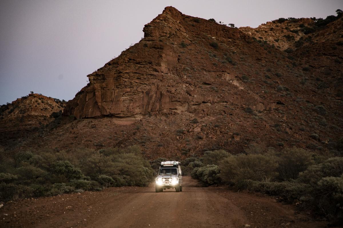
What happens when you venture inland and leave the tropical town of Carnarvon behind? Saddle up and prepare for something completely different. You’re about to experience a slice of Western Australia’s wild west outback!
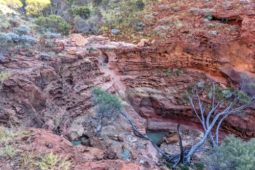
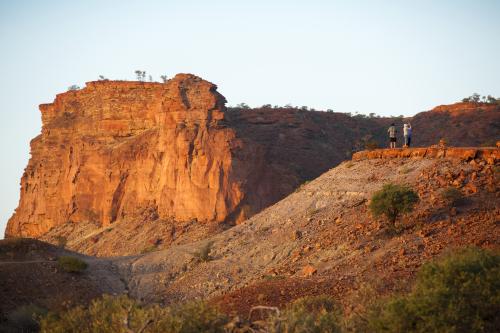
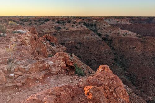
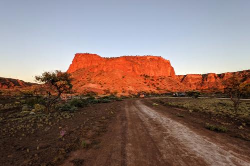
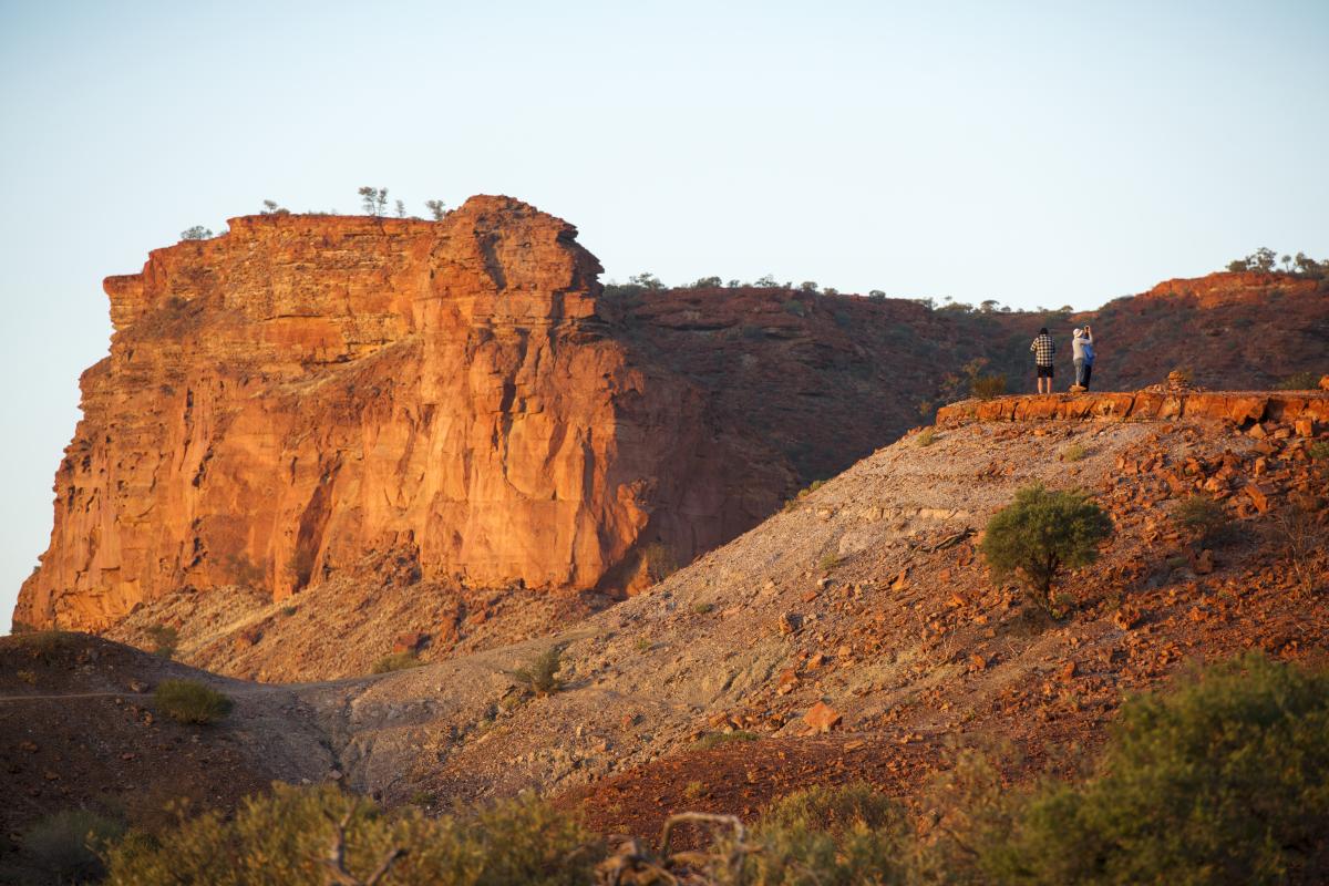
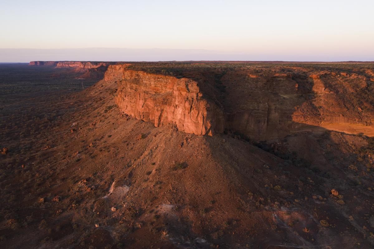
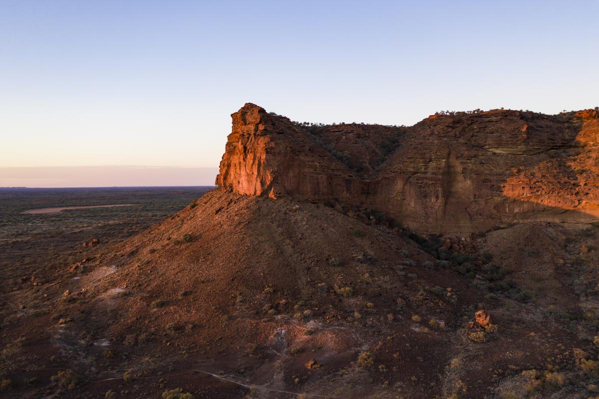
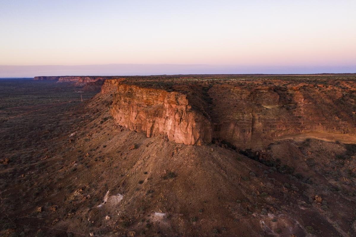
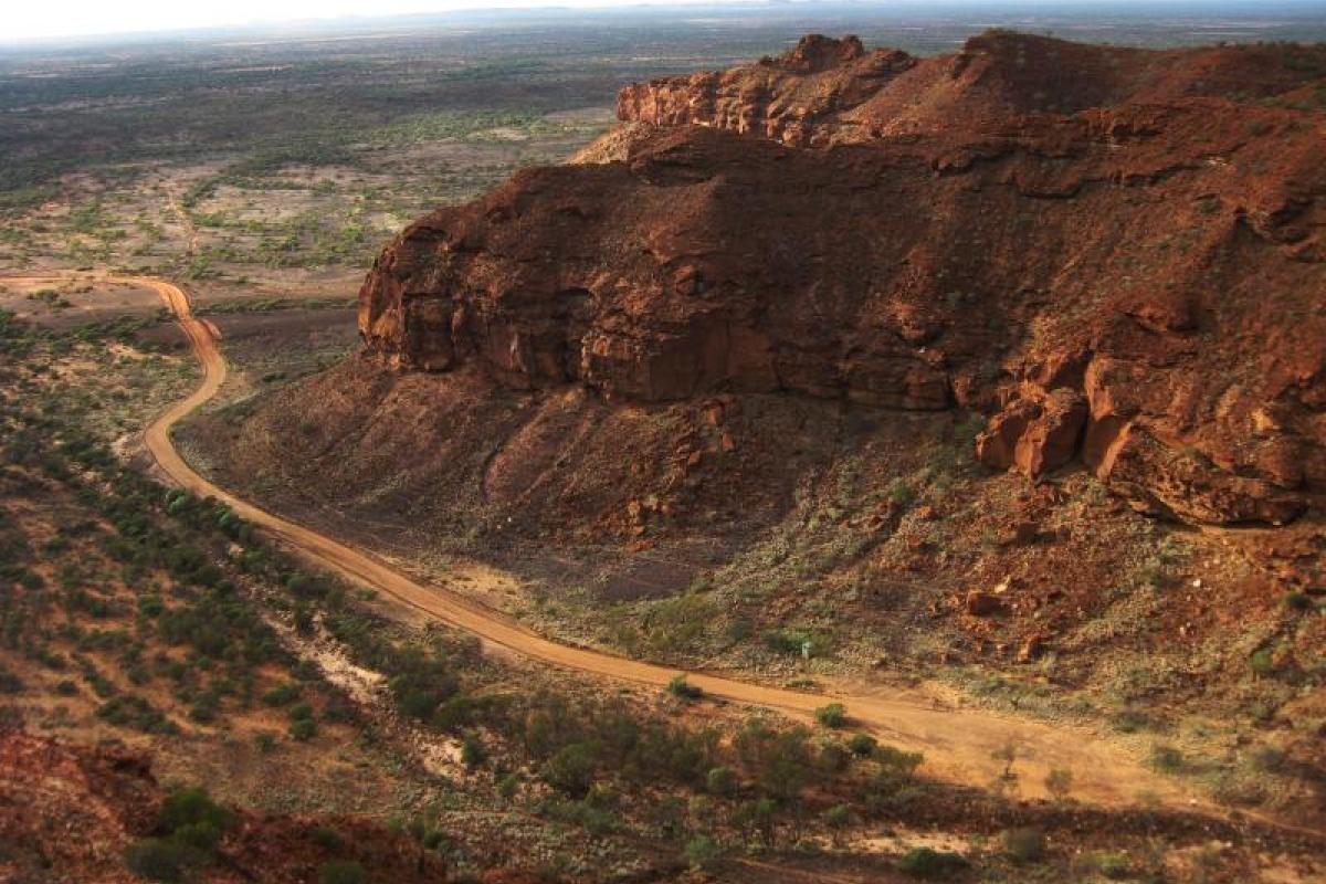
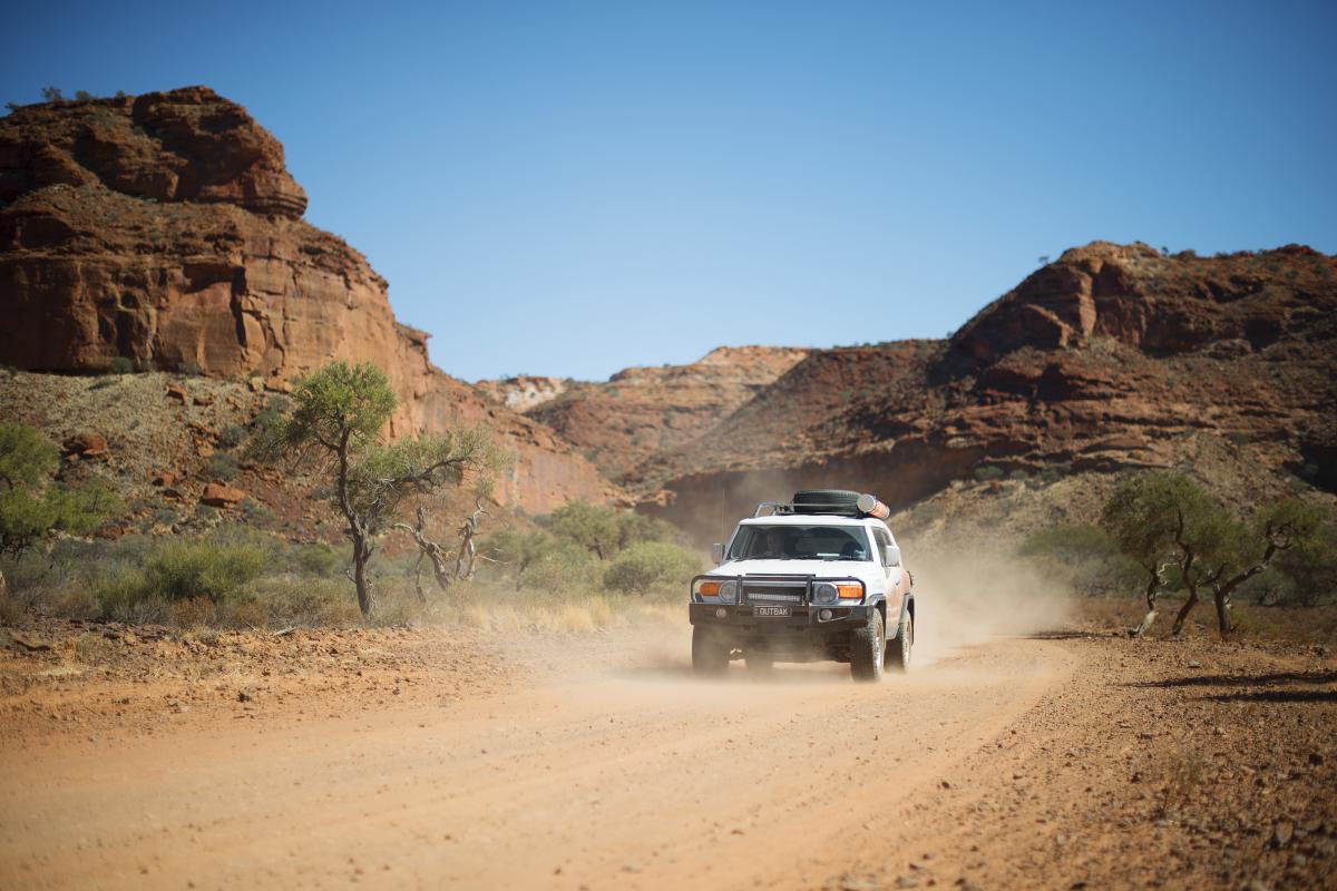
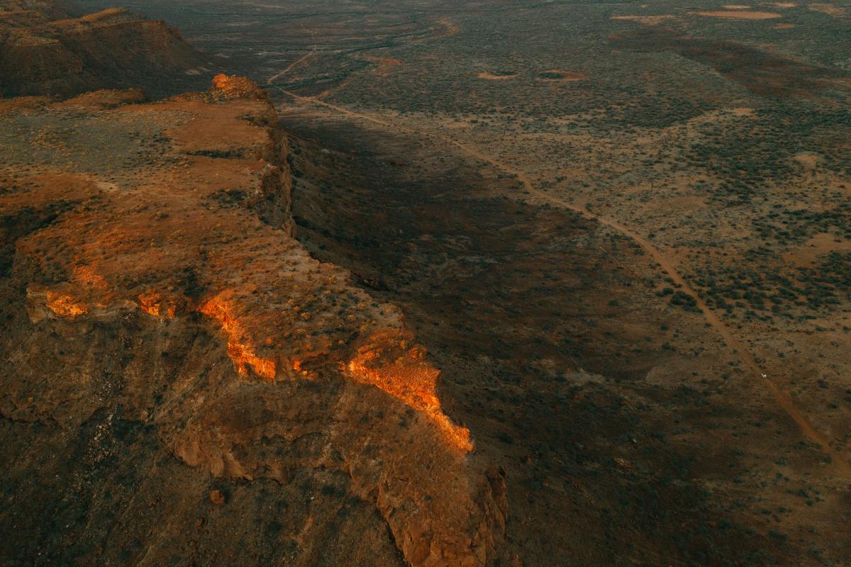
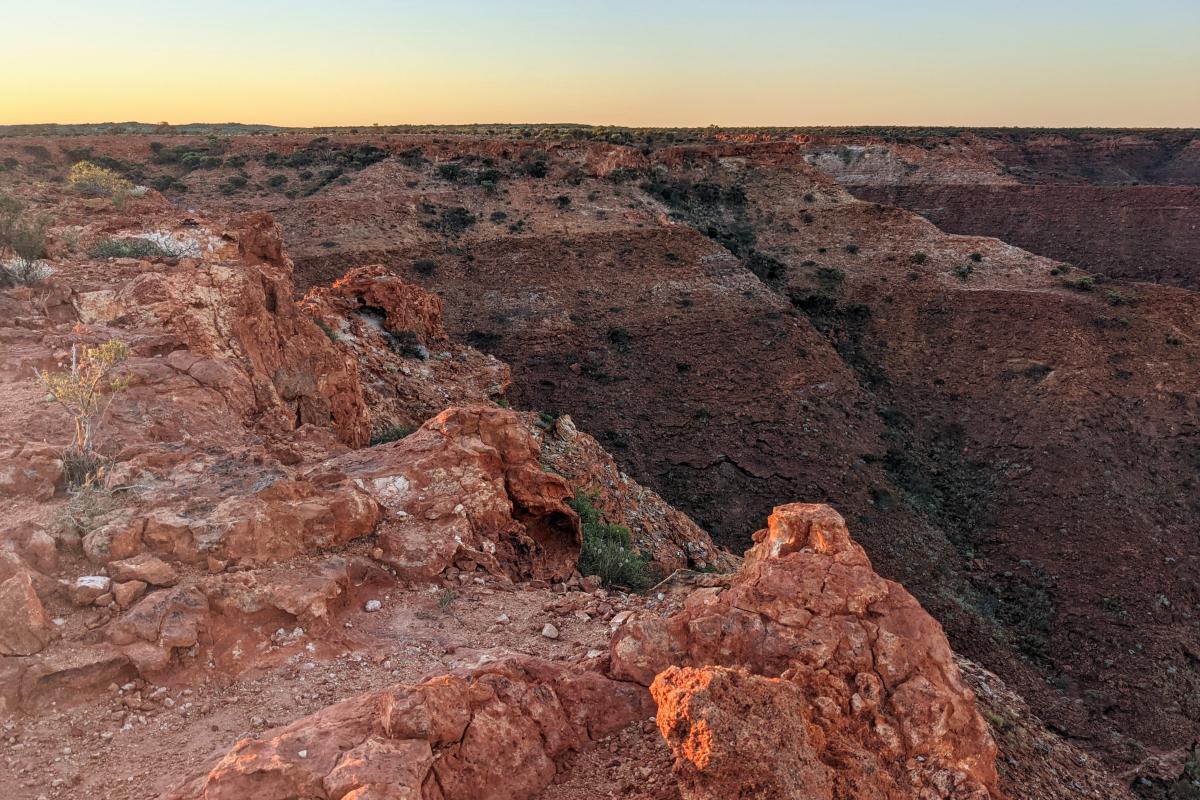
The landscape of the Kennedy Range is dominated by a vast sandstone plateau. And when we say vast, we’re not kidding. It’s between 12 and 25km wide and about 75km long. The geology of the area is fascinating. The rocks of the range were originally formed beneath an ancient sea. If you’re lucky you might even see fossils of marine creatures embedded in exposed rock.
The plateau towers 80m above the surrounding red earth plain. On top of the range there are red sand dunes covered by mixed shrubland and spinifex grassland. It’s hard to imagine that these dunes formed 20,000 years ago.
On the western side, spring water trickles from the base of the range. The springs are an oasis for wildlife that depend on the water in times of drought. The springs are important sites for traditional owners of the area.
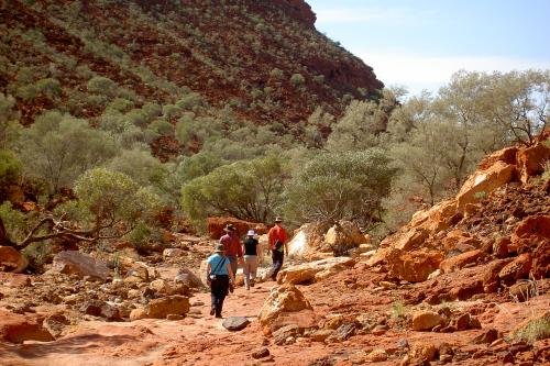
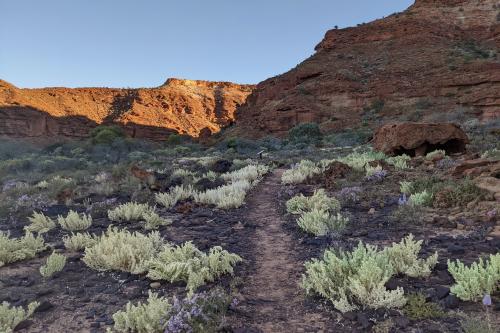
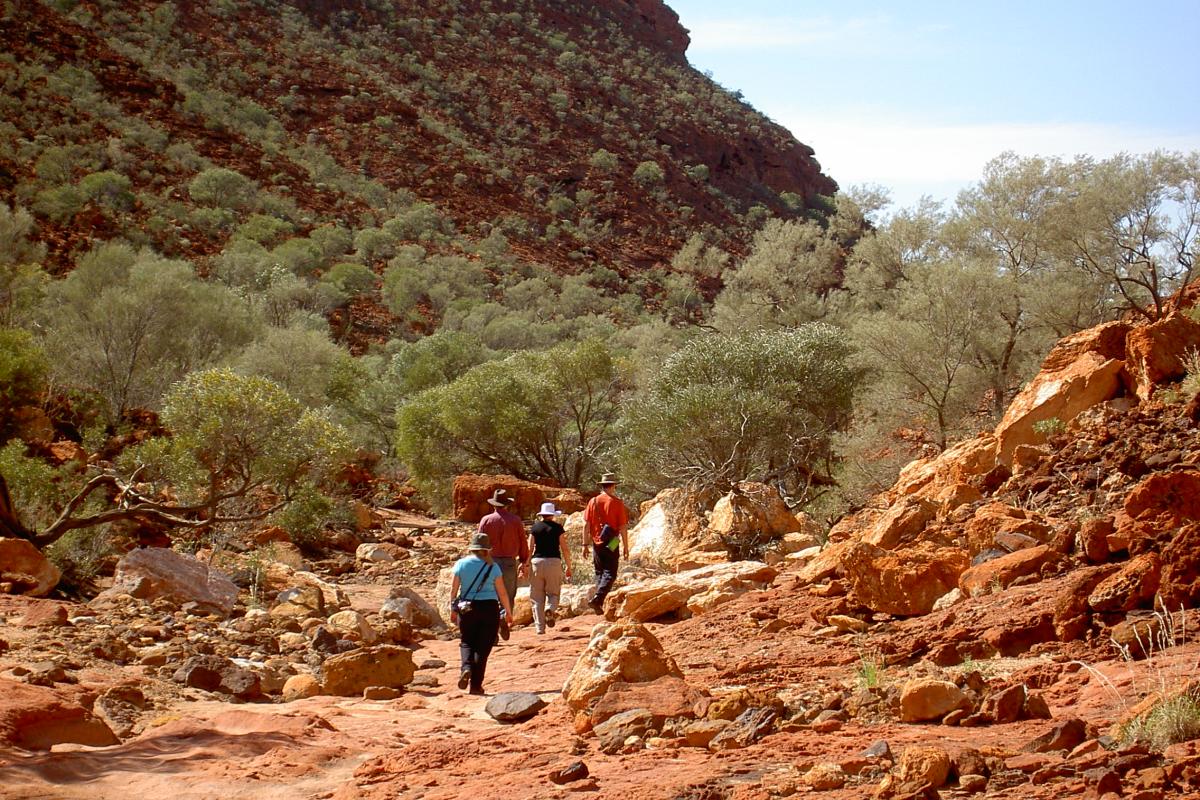
The best way to explore the park’s dramatic gorges and landscape is on foot. There are several trails to choose from but make sure you read the safety advice before walking in this remote area.
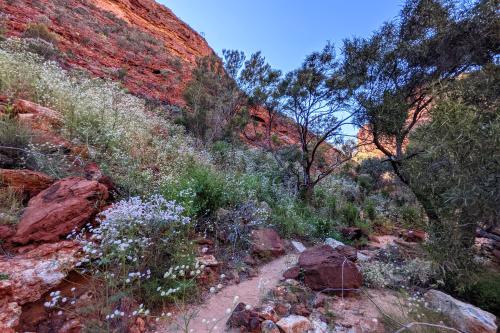
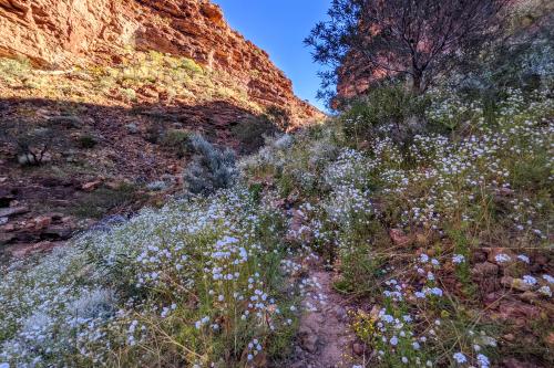
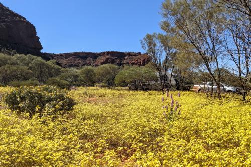
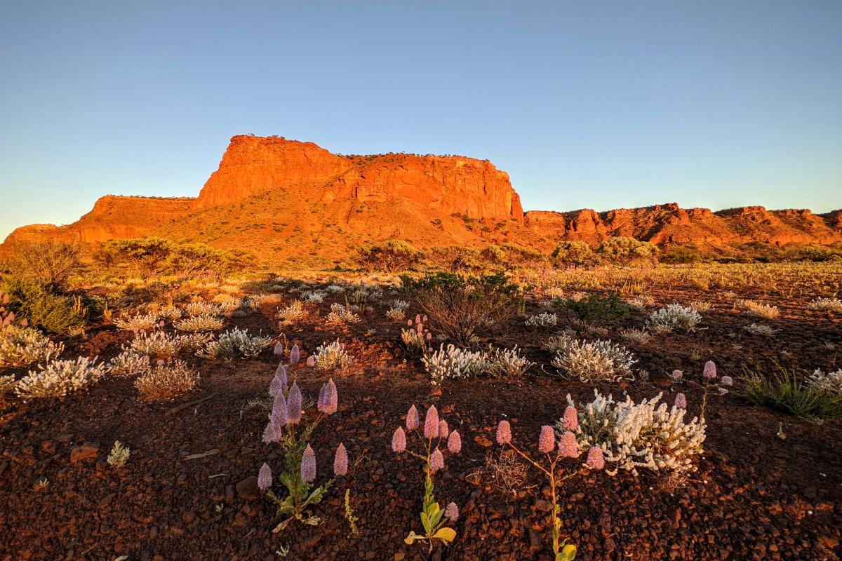
Spring is a great time to visit the park. Wildflowers, including everlastings, burst into bloom. These provide a colourful contrast against the red earth landscape. A photographer’s dream!
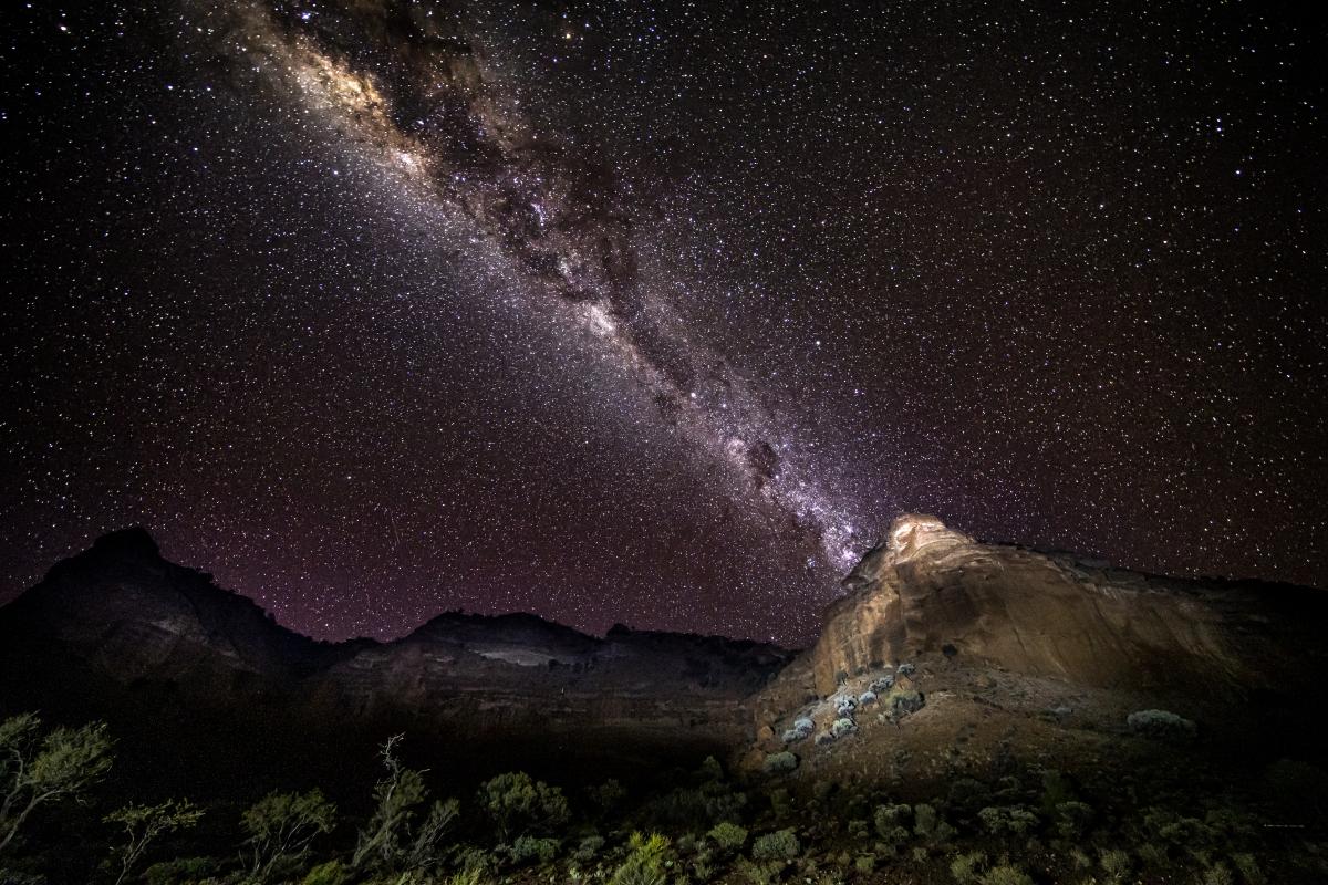
Camp out beneath the stars at Temple Gorge Campground. The dark night skies are excellent for stargazing. The vast plateau now seems small against the infinite vastness of space!
By day and by night Kennedy Range National Park is a WA wild west experience you’re unlikely to forget in a hurry!
Safety information
Plan when to visit. Read this safety information about bushwalking. Consider travelling with a personal location beacon (PLB). In the event you need to be rescued it could save your life!
The risks from exposure and dehydration are significant in this area. During the hotter months (at least December–March) these risks are extreme. Temperatures often exceed 40°C.
- Walk in groups of three or more – in an emergency one might need to wait with the injured person while someone goes for help.
- Tell a trusted and responsible person of your plans and provide sufficient detail to them so they can get help if required.
- Each person needs to carry and drink 1 litre of water per hour per person when hiking on trails.
- Carefully review your daily drinking water needs. Carry cool water if possible.
- There is no drinking water in the park. Extra water may be needed if walking in the hotter months.
- Plan your walk for the most suitable season and/or daily weather conditions.
- Wear a broad brimmed hat, sunscreen and a loose long-sleeved shirt for protection from the sun.
- Take regular breaks when walking and in the shade if available.
- Wear sturdy footwear and follow the trail markers.
- Walk during the cooler parts of the day – there will also be more wildlife about during this time.
Walk trails are usually natural unmodified surfaces. Beware of:
- undercut cliff edges.
- loose rocks and unstable surfaces.
Honeycomb Gorge Trail is a culturally significant site. Yinggarda Traditional Owners respectfully ask that you refrain from taking photos and not touching the sacred wall. Please only take memories.
Gallery
Smartreka maps
Smartreka Maps, by WA Parks Foundation, make it easier for you to navigate your way around some of Western Australia's national parks.
Before you go, download geo-referenced maps of Kennedy Range National Park to your mobile device and locate yourself without the internet. Download the Avenza Maps app from the App Store or Google Play.
Please note: The app is free to use, and many maps are available at no cost. Some maps may incur a fee which is set by the WA Parks Foundation. All proceeds from these purchases directly support the work of the WA Parks Foundation.
Connect with Campground Hosts
Campground hosts have a wealth of knowledge to share with you. If you're staying at Temple Gorge Campground, stop in and say hi! Read more.
Activities
 Bushwalking
Plants, wildlife and fungi
Visit the Atlas of Living Australia for a list of species recorded in Kennedy Range National Park.
Traditional Owners
Kennedy Range National Park is jointly managed by the Department of Biodiversity, Conservation and Attractions and the Yinggarda Aboriginal Corporation as part of the State Government's Plan for Our Parks initiative. For more information, please visit Plan for Our Parks.
Yinggarda people are recognised and acknowledged as the traditional owners of Kennedy Range National Park.
Honeycomb Gorge Trail is a culturally significant site. Yinggarda Traditional Owners respectfully ask that you refrain from taking photos and not touching the sacred wall. Please only take memories.
