About this place
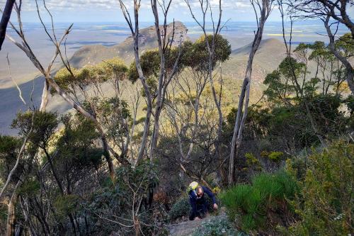
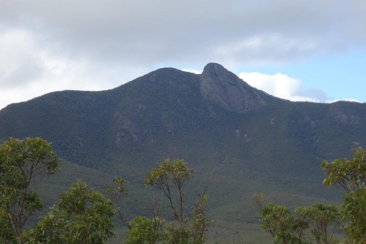
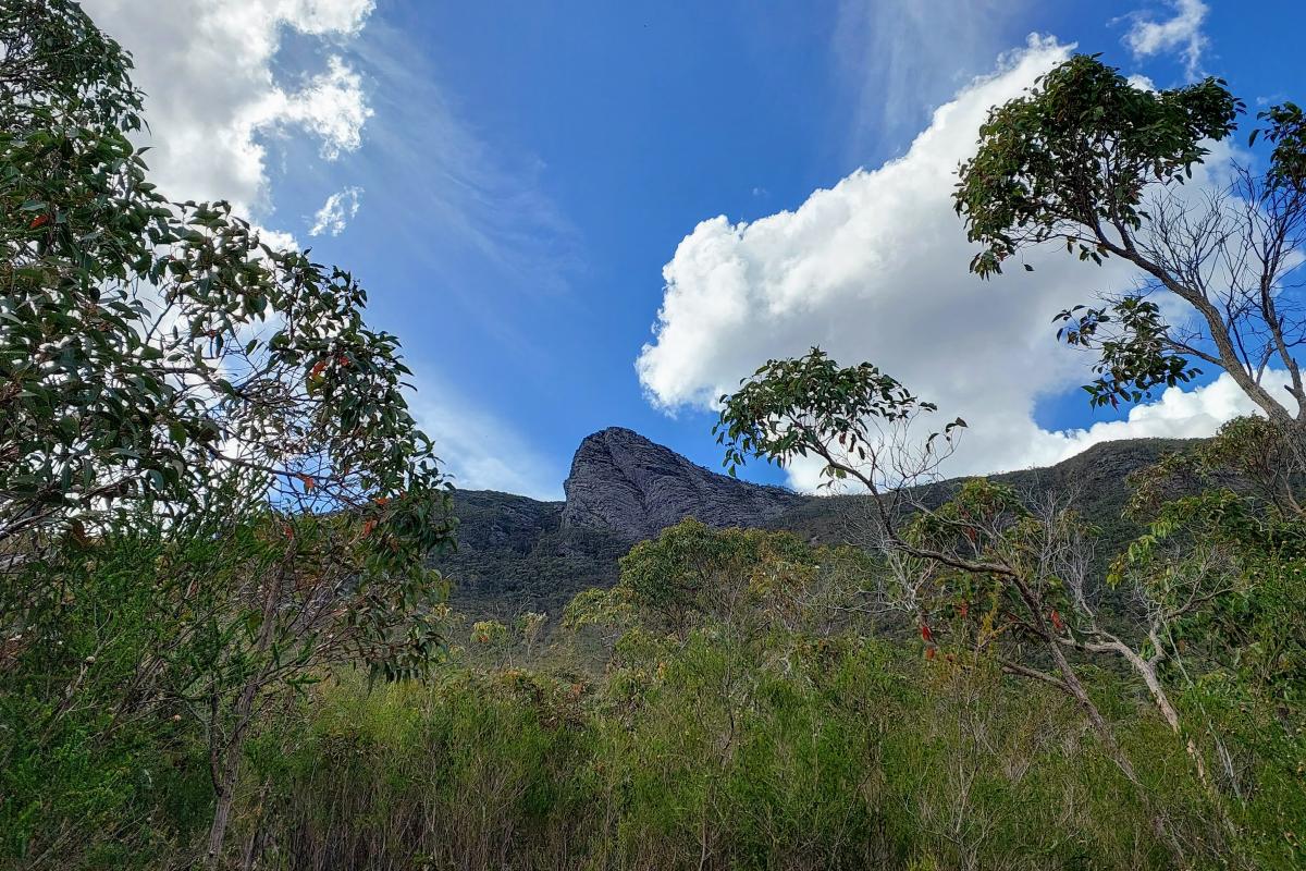
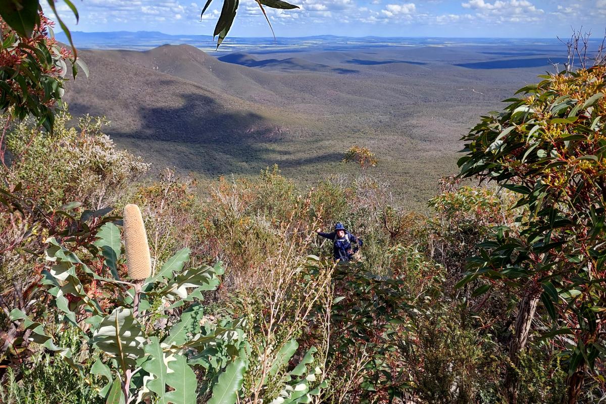
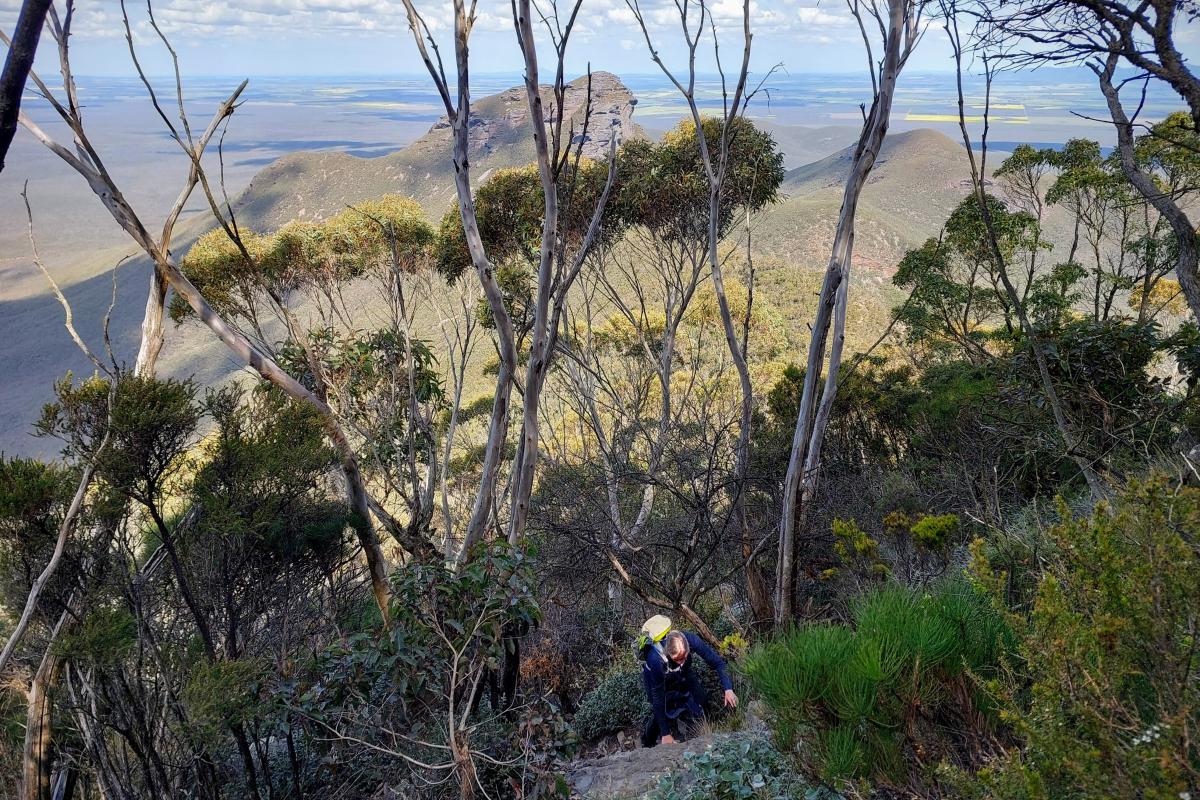
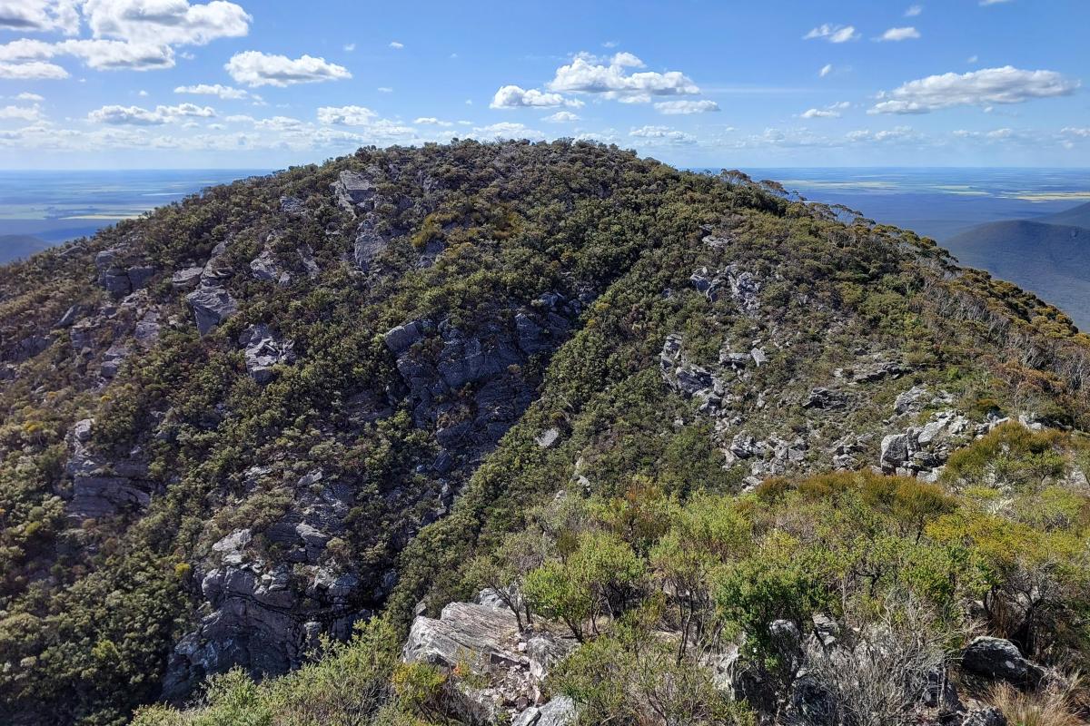
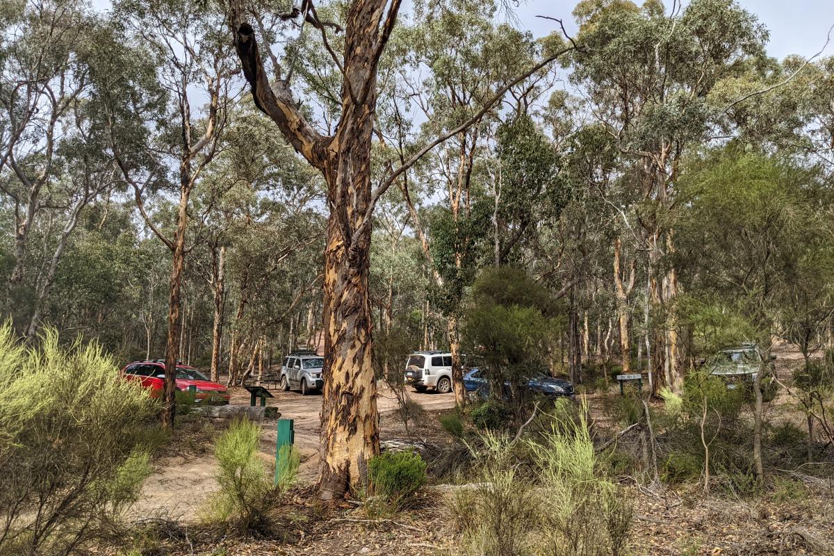
The Mount Magog walk trail starts at a small picnic and parking area surrounded by tall wandoo trees. It crosses a creek, then meanders through open country before passing steeply through thick bush to a clearing on the ridge between Mount Magog and Talyuberlup Peak to the south-east. The steep path to the summit crosses various rocky outcrops.
Safety information
Plan when to visit. Consider travelling with a personal location beacon (PLB). In the event you need to be rescued it could save your life!
The peaks of the Stirling Range are subject to rapid, unpredictable changes in the weather. Hikers should be prepared for sudden cool changes that cause the temperature to drop and rain or hail to set in.
All visitors are strongly advised not to enter the bush or use footpaths on days of extreme fire danger. If you are planning to hike off marked trails, abseil or rock climb, please register your details at the shelter in the picnic area across the road from Bluff Knoll Road entry station. If you plan to hike on an established walk, no registration is required.
The Department of Biodiversity, Conservation and Attractions undertakes 1080 baiting at this location to reduce the impacts of feral cats and foxes on native wildlife.
Meat baits containing 1080 poison are laid in or around this area on an ongoing basis. 1080 is poisonous to humans and will kill domestic cats and dogs. Pets are not permitted in this park.
For further information contact your local Parks and Wildlife Service office or visit Western Shield.
Gallery

Activities
 Bushwalking
 Picnicking
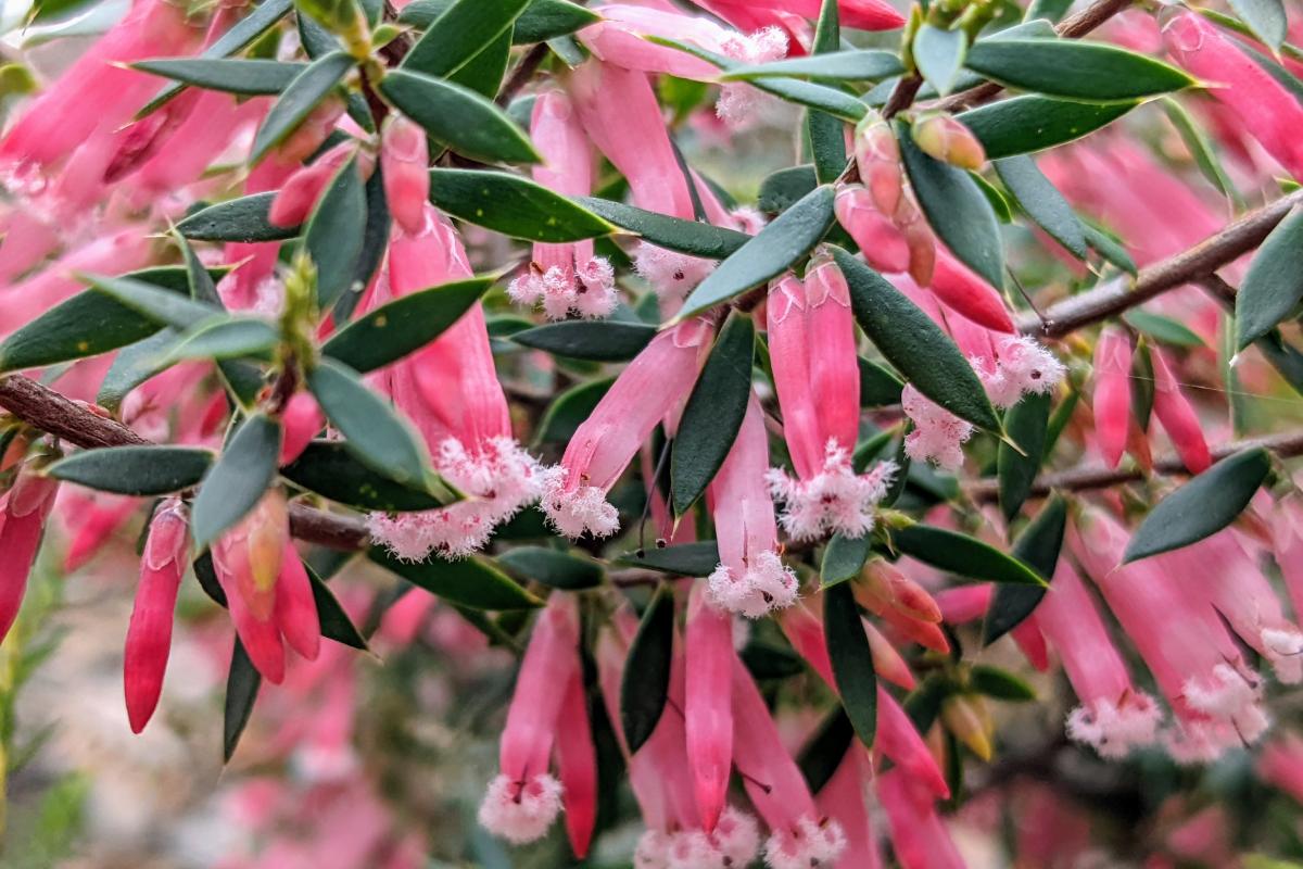
Plants, wildlife and fungi
Visit the Atlas of Living Australia for a list of species recorded within a 5km radius of Mount Magog.
Traditional Owners
We recognise and acknowledge Goreng and Menang people as the Traditional Owners of Stirling Range National Park.
