About this park
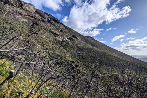
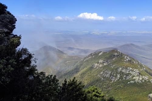
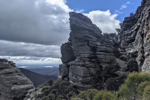
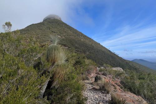
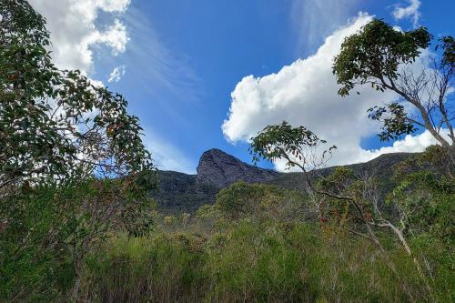
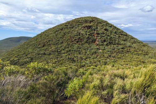
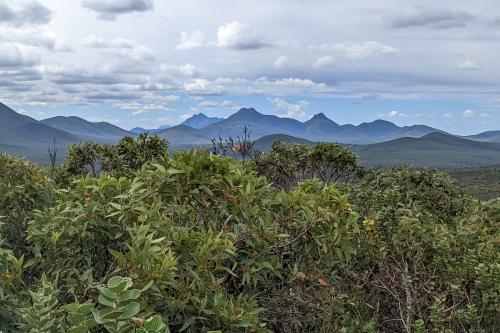
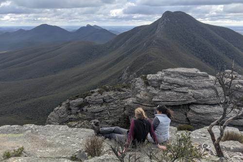
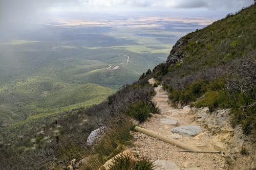
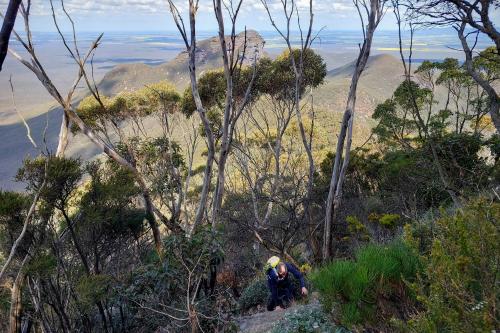
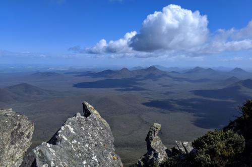
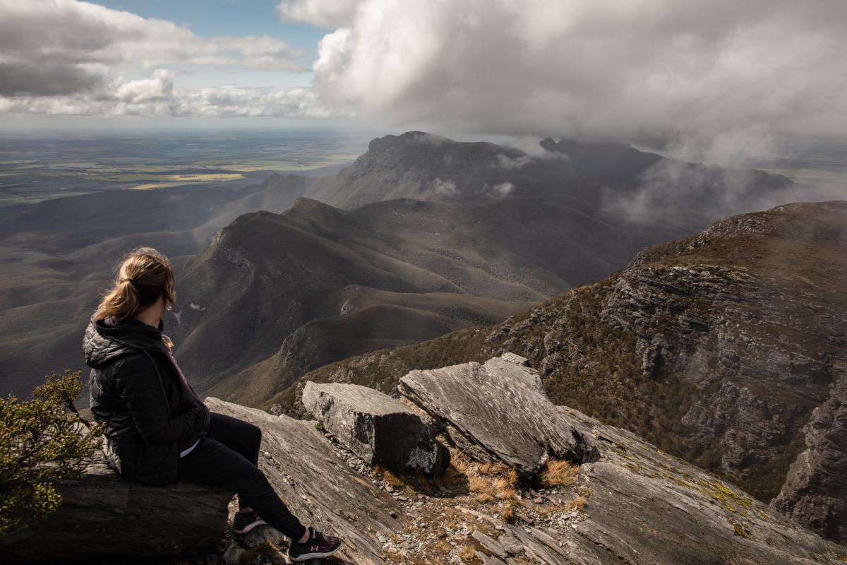
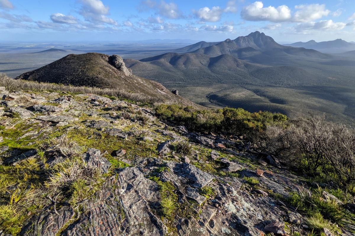
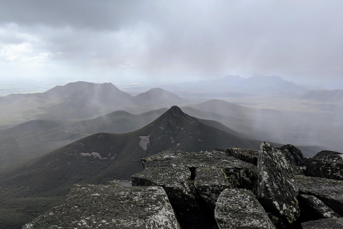
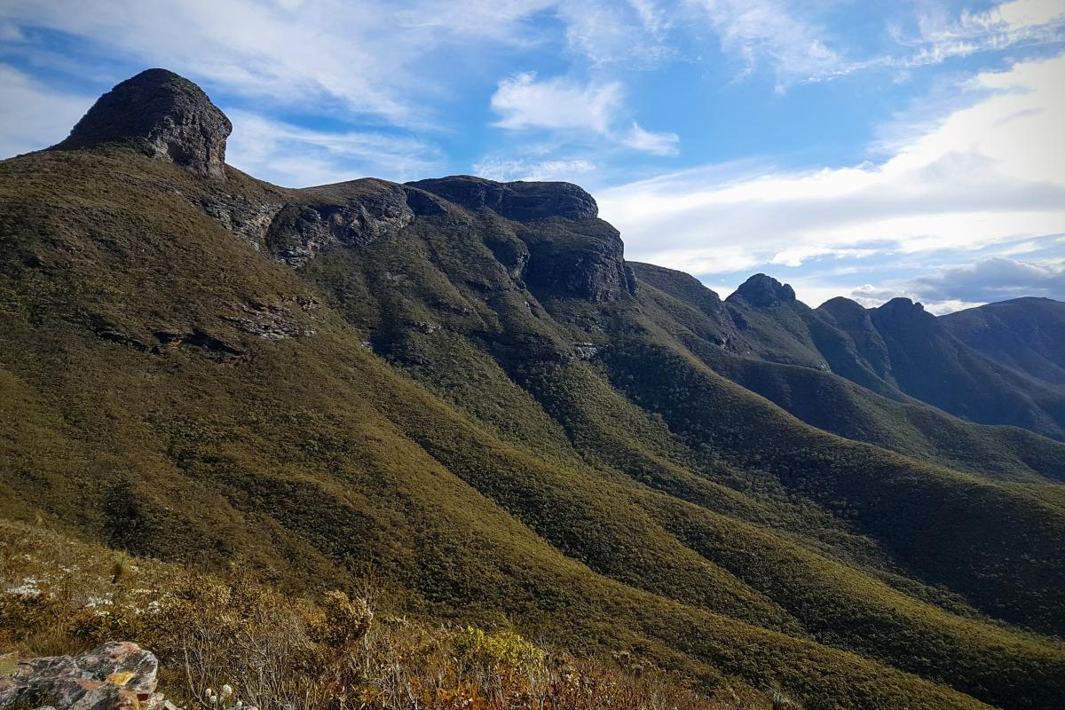
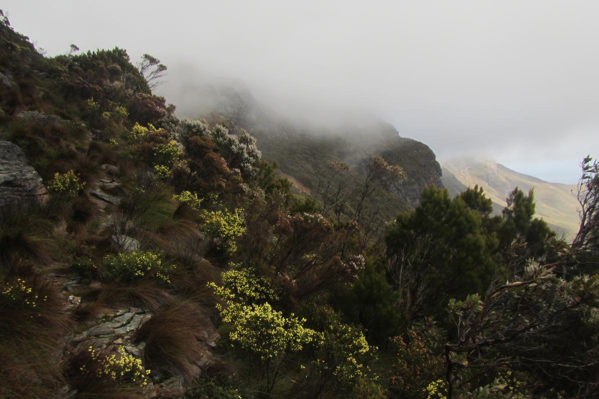
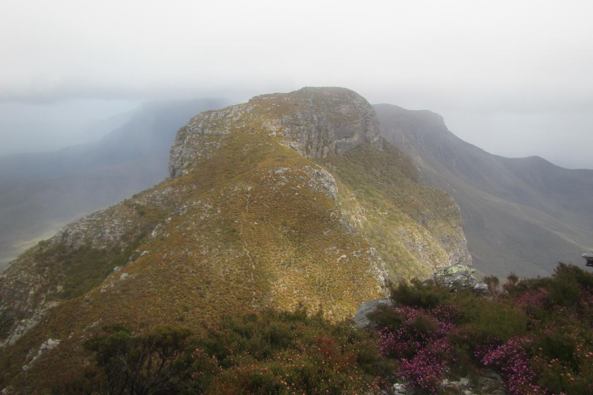
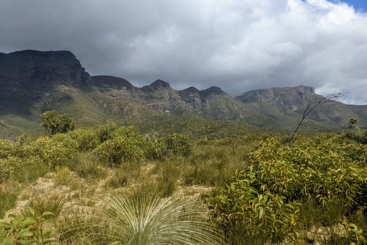
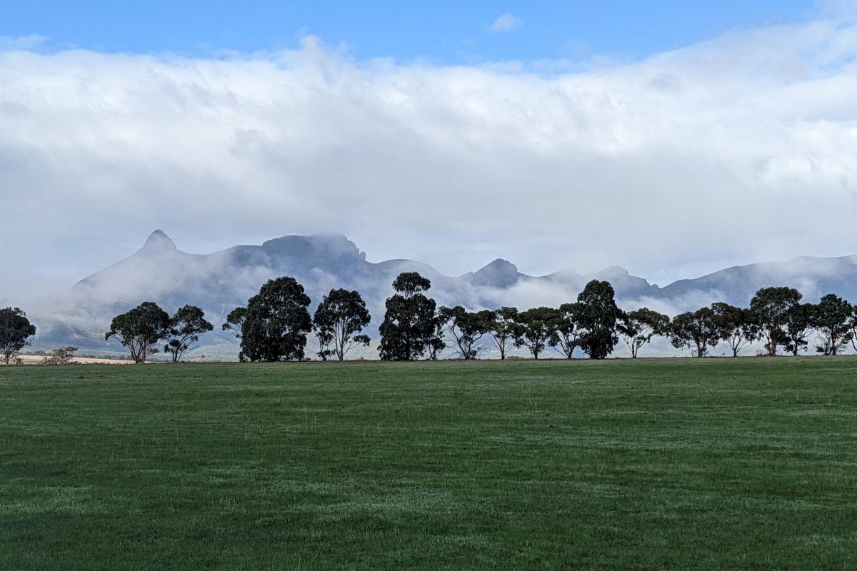
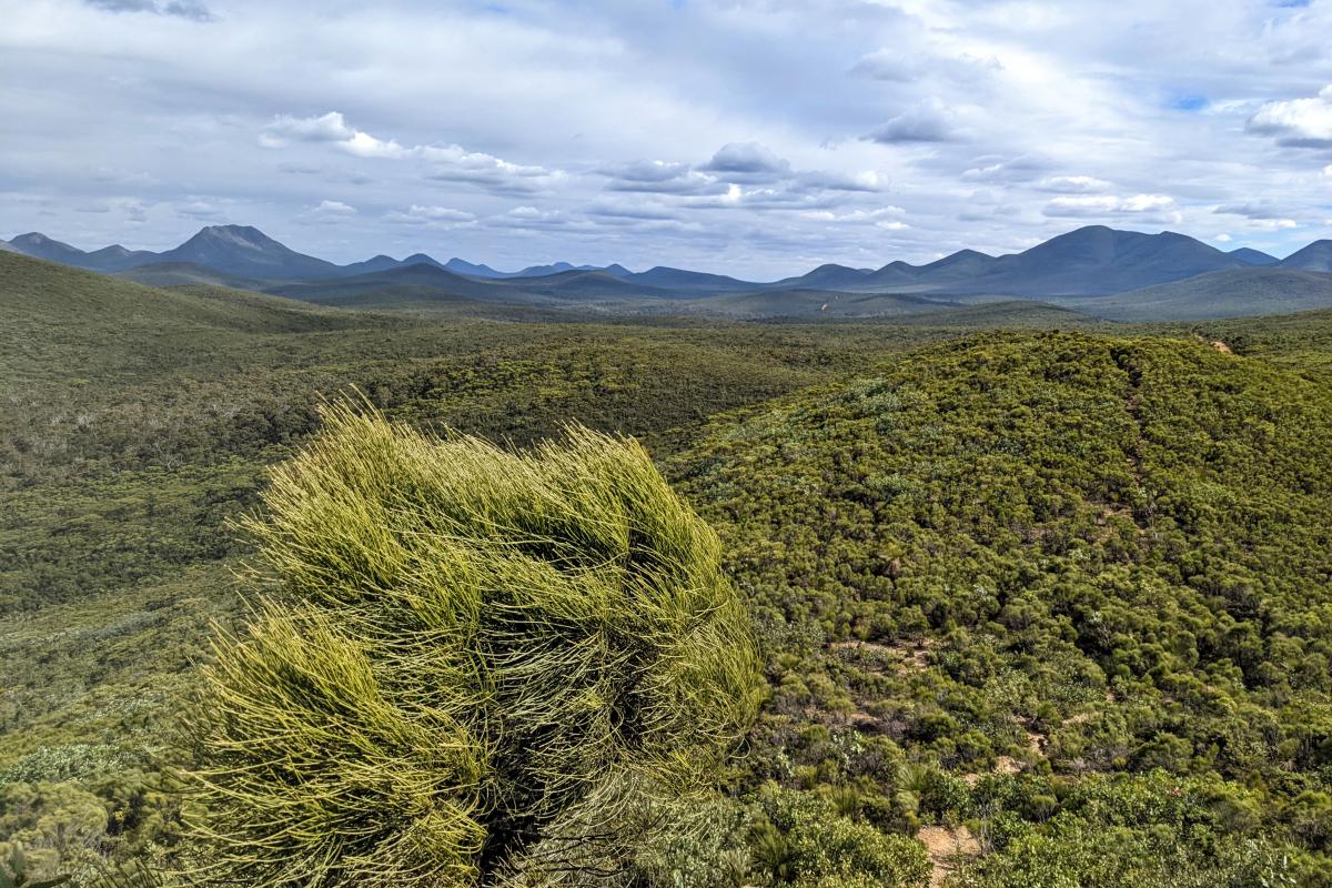
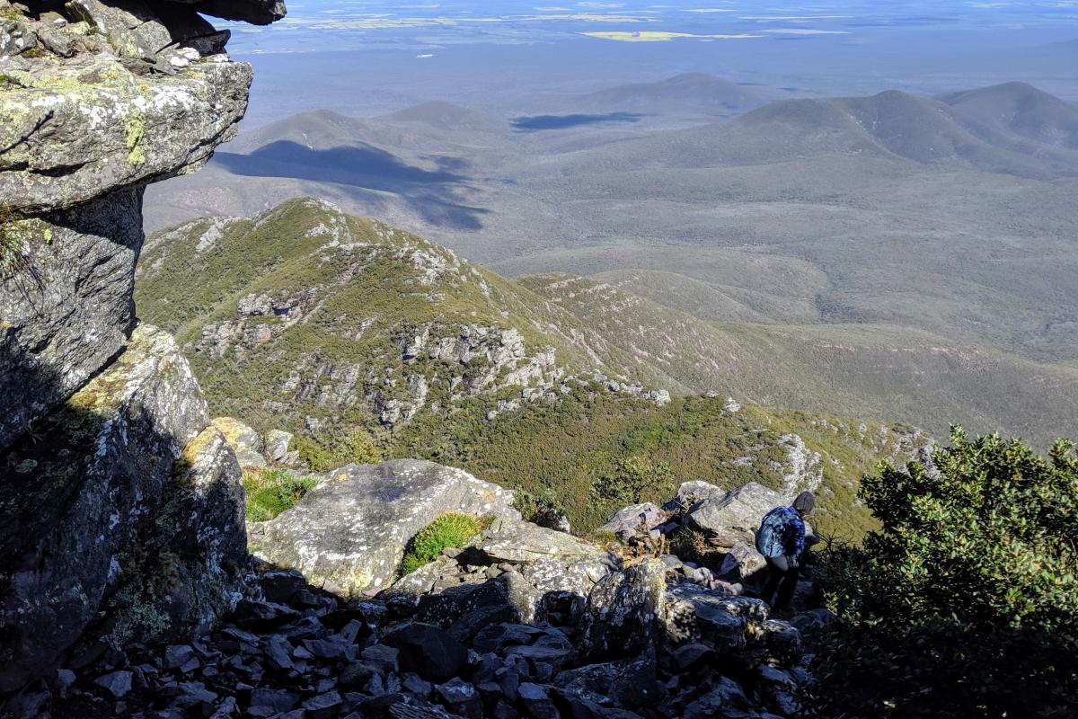
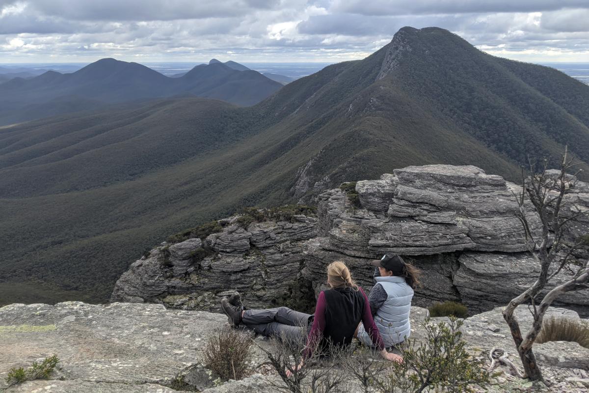
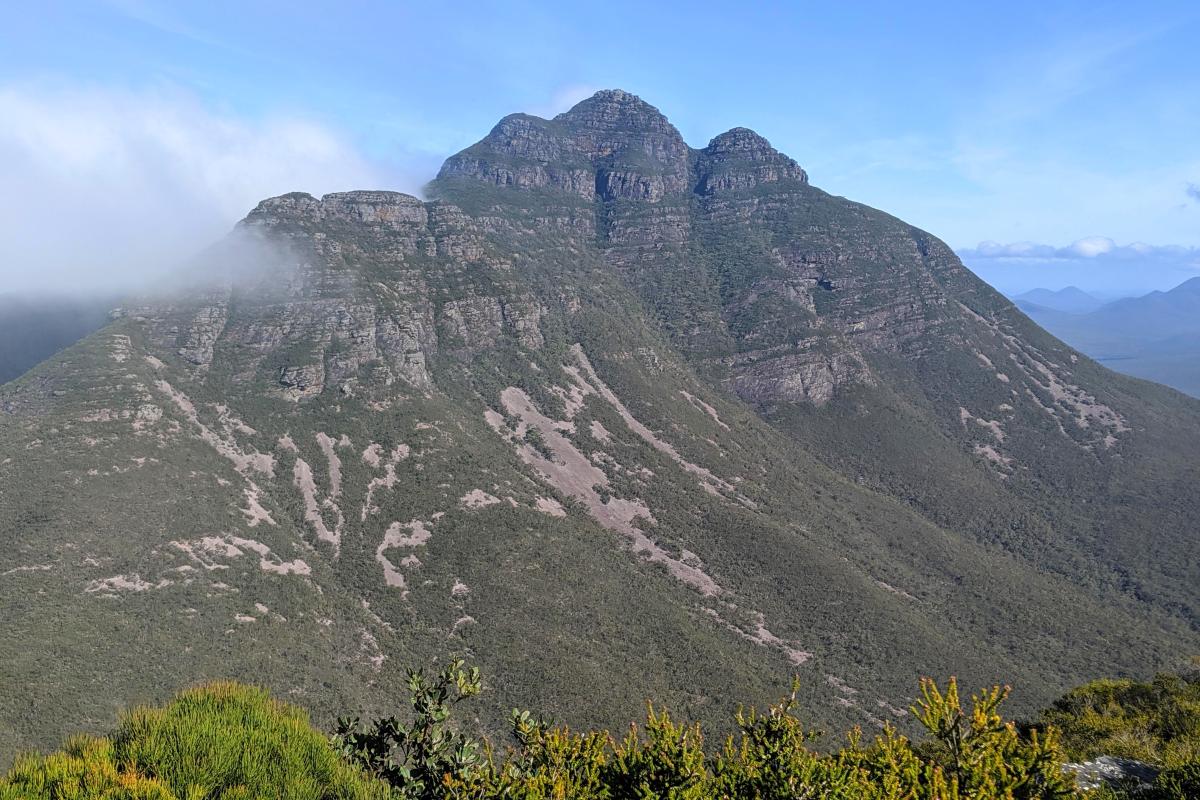
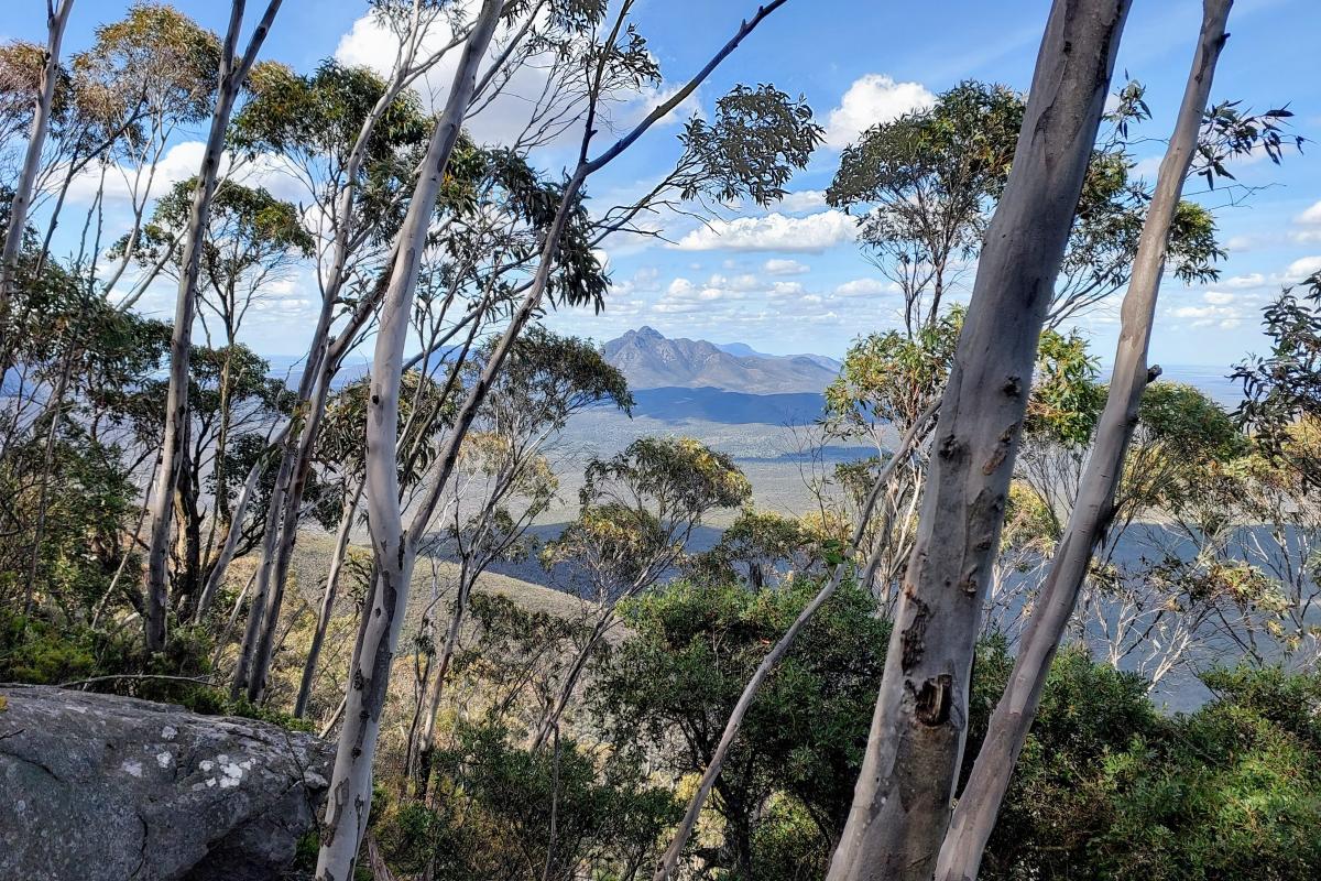
Stirling Range National Park is home to the only major mountain range in the southern area of WA, rising to more than 1000m above sea level and creating a challenging and spectacular hiking experience. The Aboriginal name for the range, Koi Kyenunu-ruff, meaning ‘mist rolling around the mountains’ is a frequently seen occurrence.
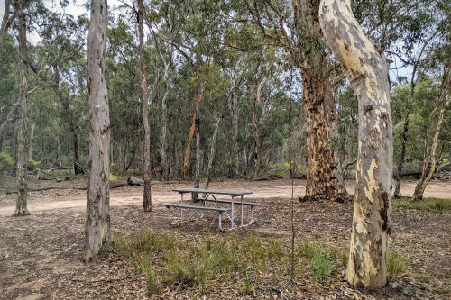
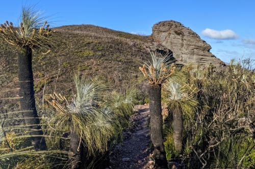
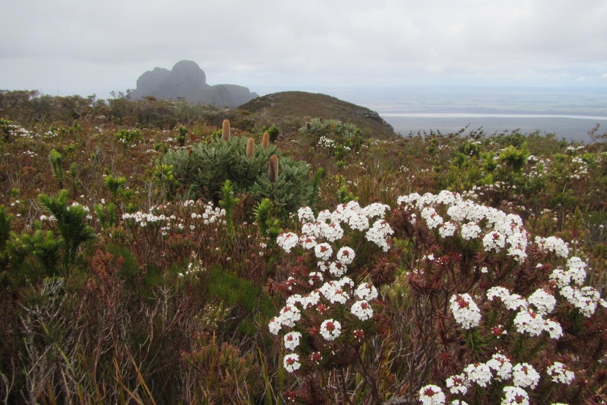
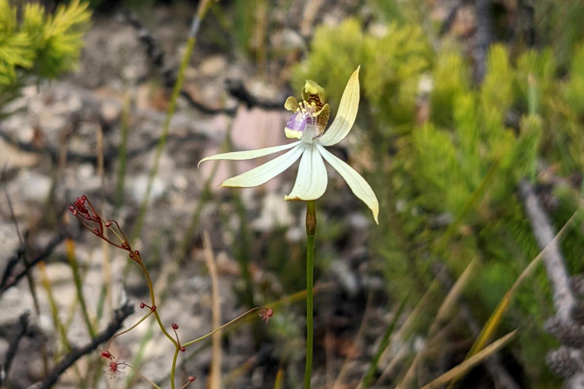
In spring and early summer, the ranges come to life with an abundance of wildflowers and bird life which can be seen from the mountain hiking trails, lookouts and picnic areas scattered throughout the park. If the hikes aren’t for you, opt for the 42km scenic drive on mostly unsealed, graded roads weaving through the heart of the park with stops along the way.
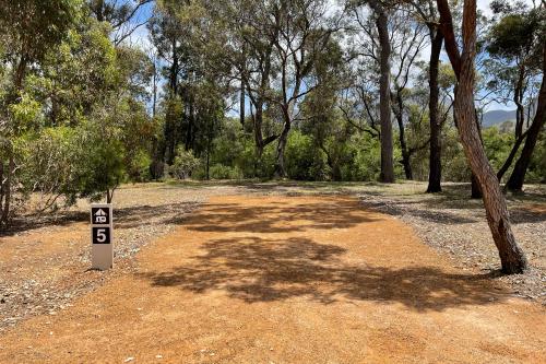
Camp nearby at the Stirling Range Retreat or Mount Trio Bush Camping and Caravan Park on the northern boundary of the park.
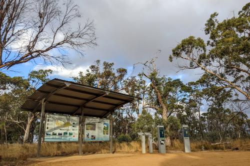
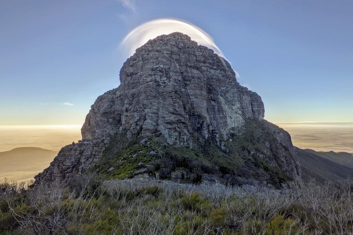
Bluff Knoll, or Bular Mial, is a place of cultural significance for Minang and Goreng people, information and stories can be learnt through signage on the Eastern Lookout.
Review - Breathtaking!
This is truly a MUST when visiting this region! You have the option to do climbs, hikes or you can see these amazing views by driving… Loved it! Will definitely be back. Kristen A - Trip Advisor
Safety information
Plan when to visit. Read this safety information about bushwalking. Consider travelling with a personal location beacon (PLB). In the event you need to be rescued it could save your life!
The peaks of the Stirling Range are subject to rapid, unpredictable changes in the weather. Hikers should be prepared for sudden cool changes that cause the temperature to drop and rain or hail to set in. All visitors are strongly advised not to enter the bush or use footpaths on days of extreme fire danger. If you are planning to hike off marked trails, abseil or rock climb, please register your details at the shelter in the picnic area across the road from Bluff Knoll Road entry station. If you plan to hike on an established walk, no registration is required.
Filling out a trip intention form could save your life. Complete this form and leave it with a reliable friend, family member or responsible person to inform them of your travel dates and the locations you plan to visit (your itinerary). Ask them to raise the alarm if you haven’t returned and/or contacted them by the agreed time.
Western Shield - The Department of Biodiversity, Conservation and Attractions undertakes 1080 baiting at this location to reduce the impacts of feral cats and foxes on native wildlife.
Meat baits containing 1080 poison are laid in or around this area on an ongoing basis. 1080 is poisonous to humans and will kill domestic cats and dogs. Pets are not permitted in this park.
For further information contact your local Parks and Wildlife Service office or visit Western Shield.
Gallery
Smartreka maps
Smartreka Maps, by WA Parks Foundation, make it easier for you to navigate your way around some of Western Australia's national parks.
Before you go, download geo-referenced maps of Stirling Range National Park to your mobile device and locate yourself without the internet. Download the Avenza Maps app from the App Store or Google Play.
Please note: The app is free to use, and many maps are available at no cost. Some maps may incur a fee which is set by the WA Parks Foundation. All proceeds from these purchases directly support the work of the WA Parks Foundation.
Activities
 Bushwalking
 Overnight hiking
Plants, wildlife and fungi
Visit the Atlas of Living Australia for a list of species recorded in Stirling Range National Park.
Traditional Owners
We recognise and acknowledge Goreng and Menang people as the Traditional Owners of Stirling Range National Park.
