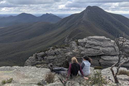
About this place
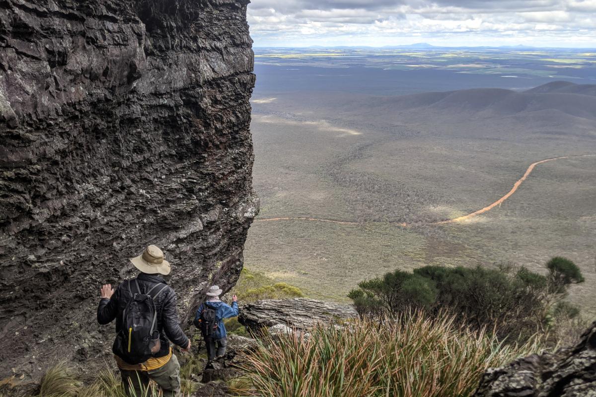
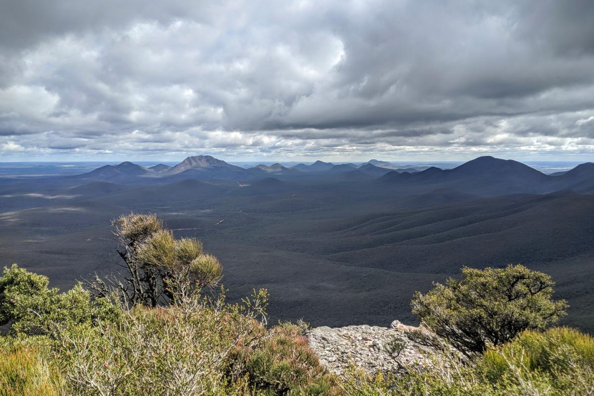
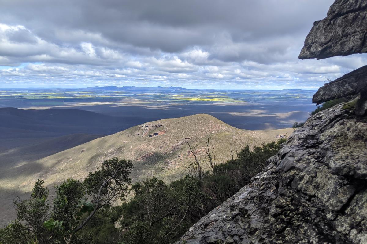
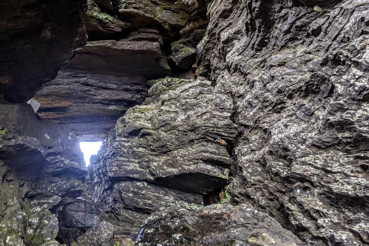
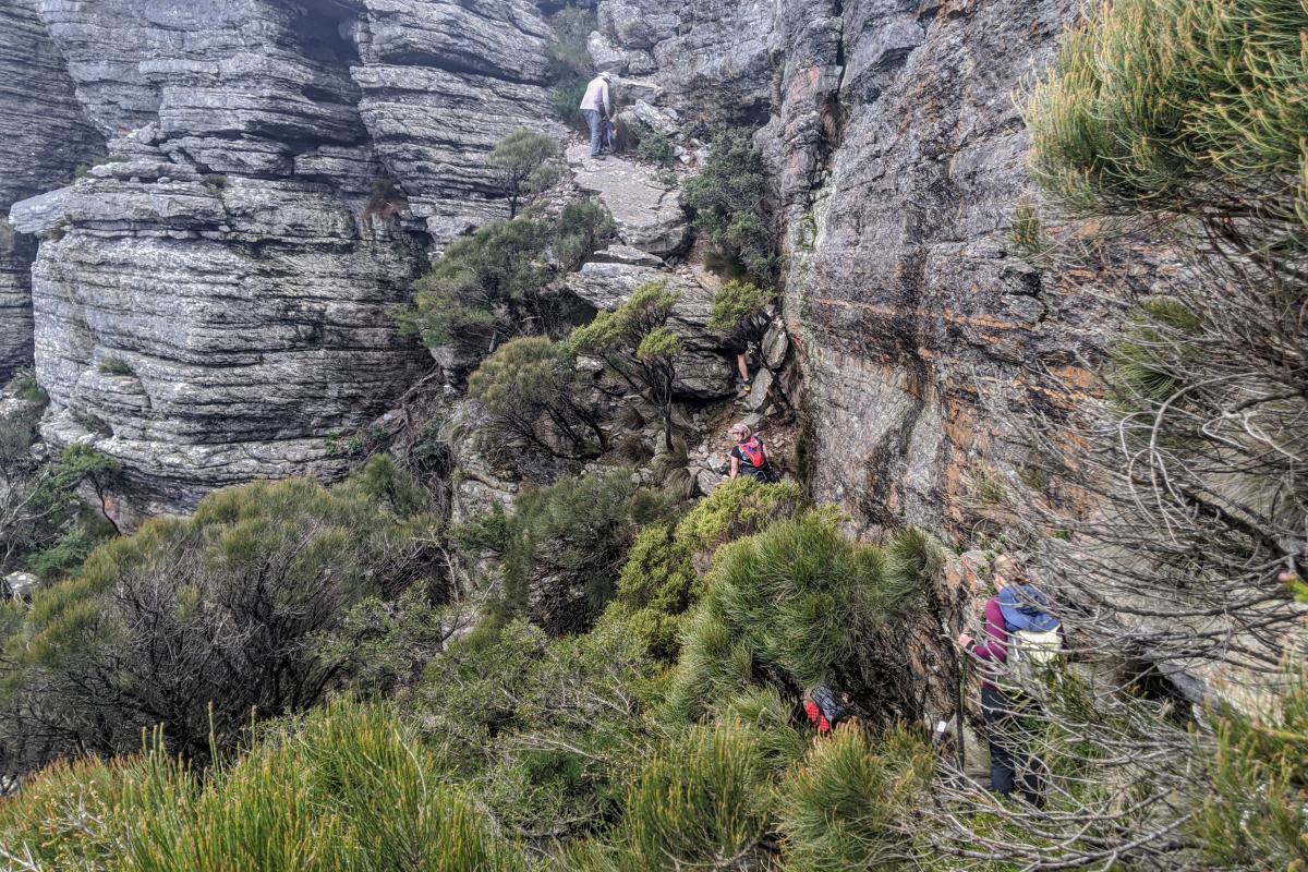
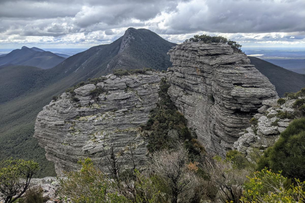
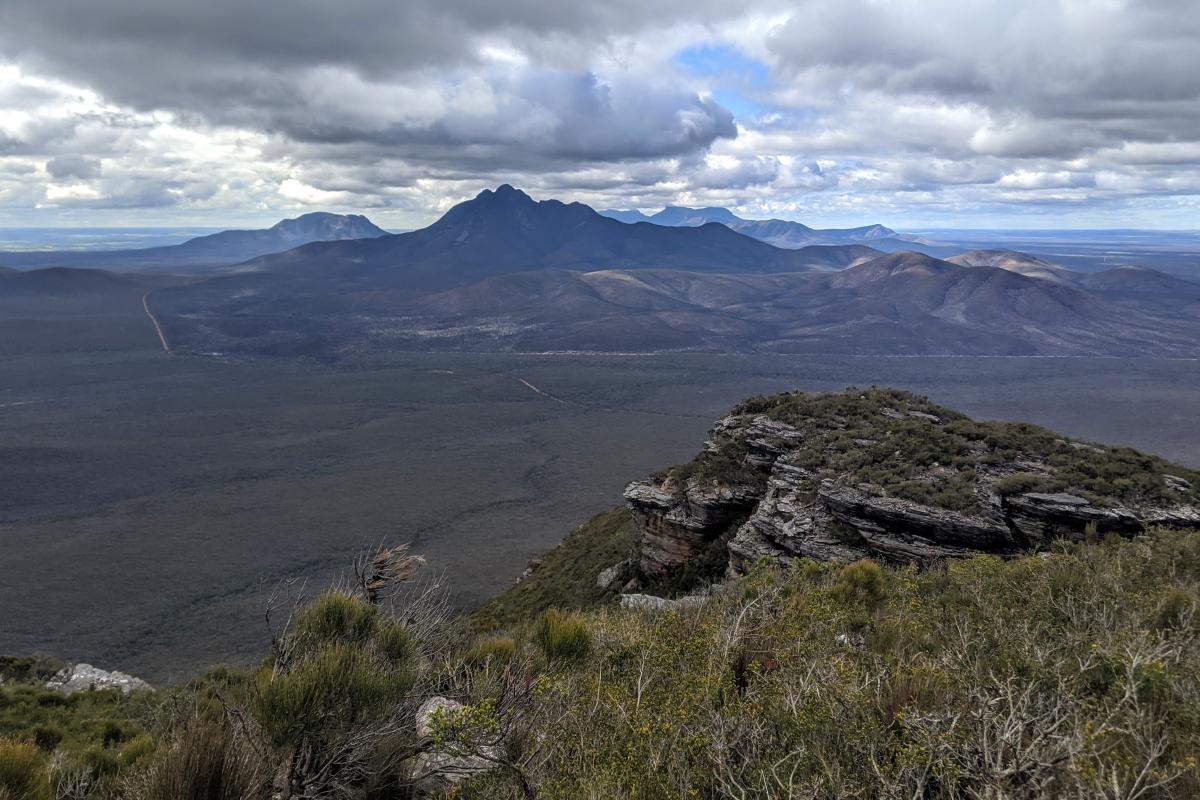
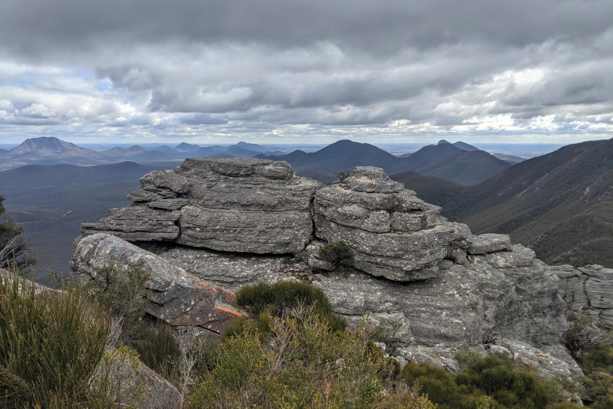
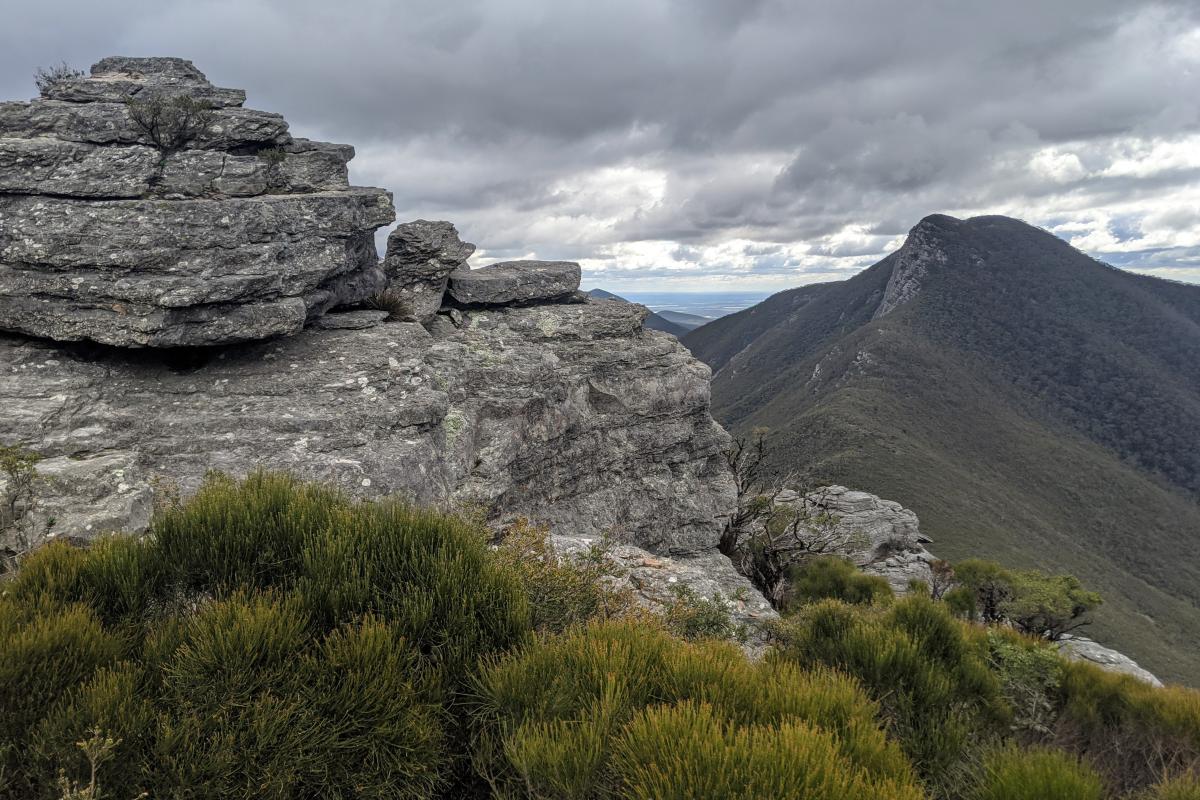
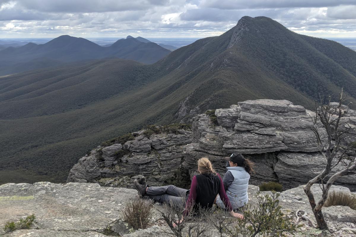
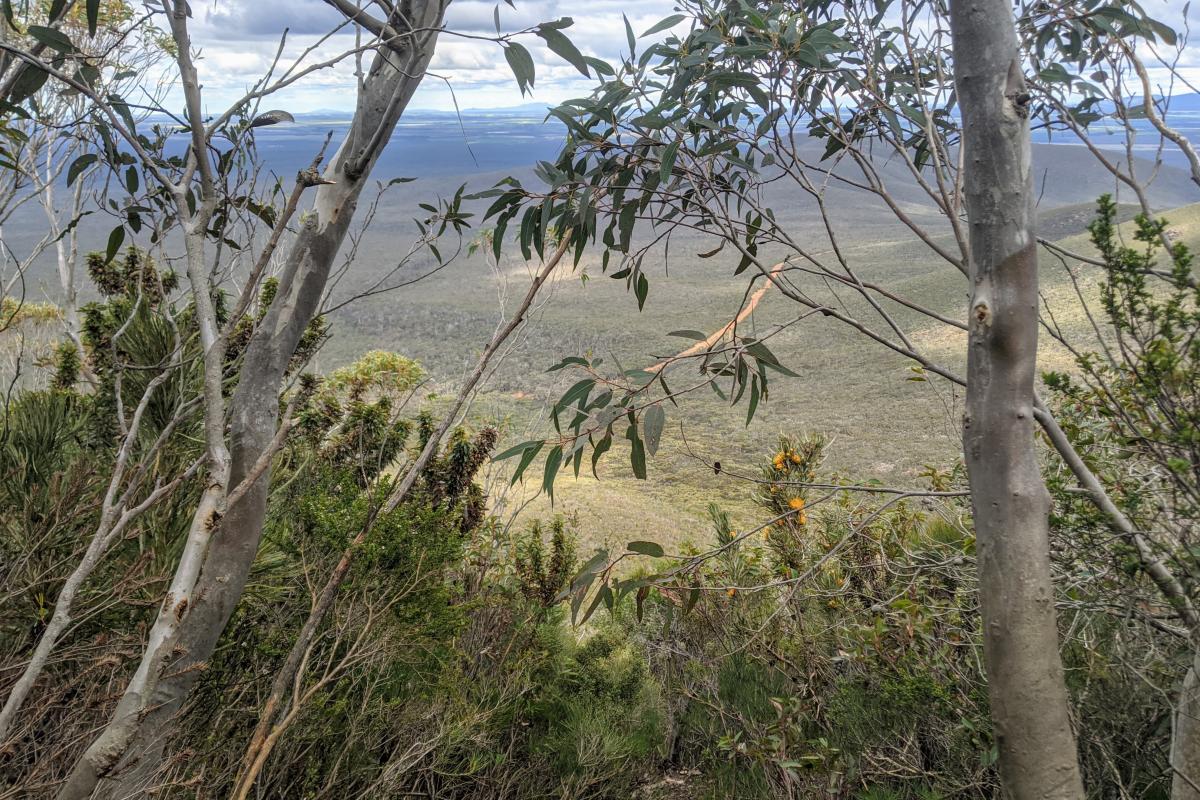
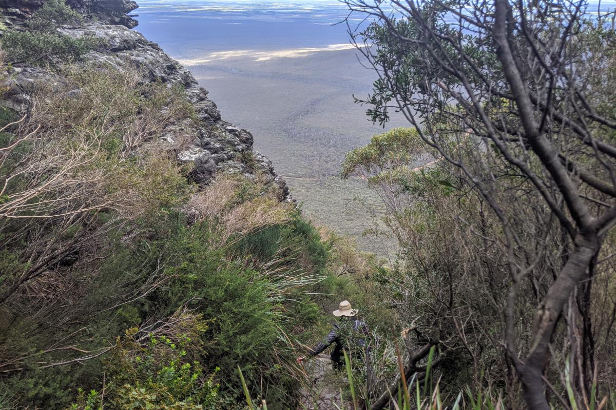
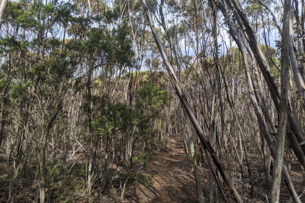
The walk up to Talyuberlup Peak starts with a gentle uphill stroll through Talyuberlrup mallee and Veronica`s wattle. This slope soon changes into a steep scramble up the mountain until you arrive at the base of a cliff face. Follow the trail up to a large cave that goes through the mountain, around the mountain to a short, near vertical ascent before a final easy walk to the top.
Safety information
Plan when to visit. Consider travelling with a personal location beacon (PLB). In the event you need to be rescued it could save your life!
The peaks of the Stirling Range are subject to rapid, unpredictable changes in the weather. Hikers should be prepared for sudden cool changes that cause the temperature to drop and rain or hail to set in.
All visitors are strongly advised not to enter the bush or use footpaths on days of extreme fire danger. If you are planning to hike off marked trails, abseil or rock climb, please register your details at the shelter in the picnic area across the road from Bluff Knoll Road entry station. If you plan to hike on an established walk, no registration is required.
Do not enter the cave as the rocks overhanging the cave are unstable and may fall.
The Department of Biodiversity, Conservation and Attractions undertakes 1080 baiting at this location to reduce the impacts of feral cats and foxes on native wildlife.
Meat baits containing 1080 poison are laid in or around this area on an ongoing basis. 1080 is poisonous to humans and will kill domestic cats and dogs. Pets are not permitted in this park.
For further information contact your local Parks and Wildlife Service office or visit Western Shield.
Gallery
Activities
 Bushwalking
Plants, wildlife and fungi
Visit the Atlas of Living Australia for a list of species recorded within a 5km radius of Talyuberlup.
Traditional Owners
We recognise and acknowledge Goreng and Menang people as the Traditional Owners of Stirling Range National Park.
