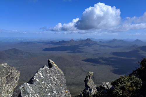
About this place
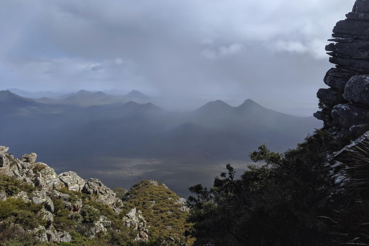
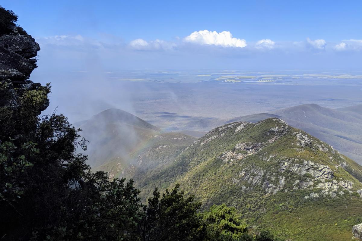
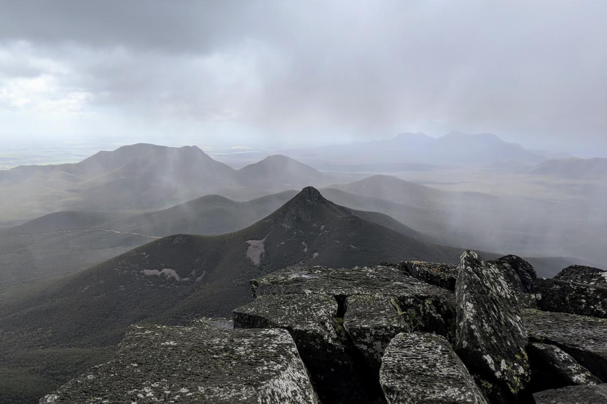
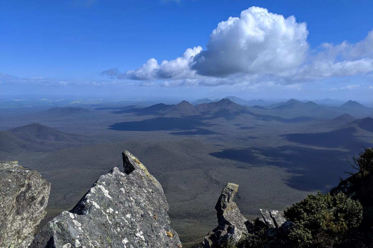
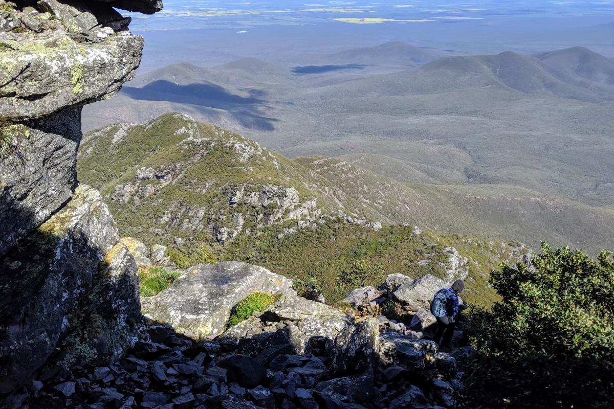
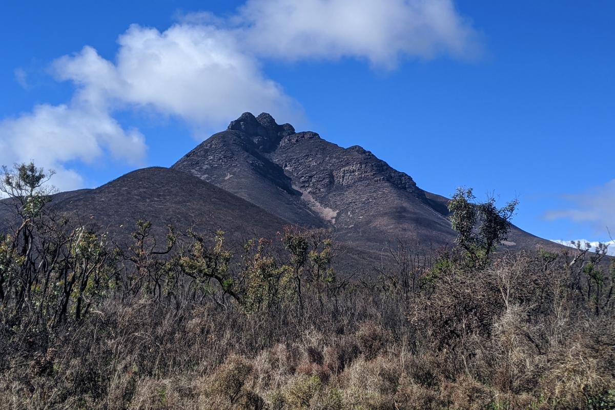
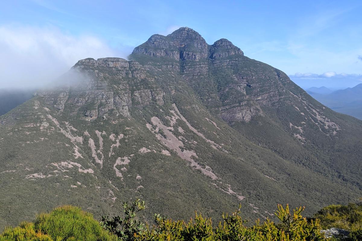
Toolbrunup Peak towers above the other western peaks, offering uninterrupted views in all directions. To get there you'll need to be fit and agile and prepared to scramble up some steep rocky sections of the trail.
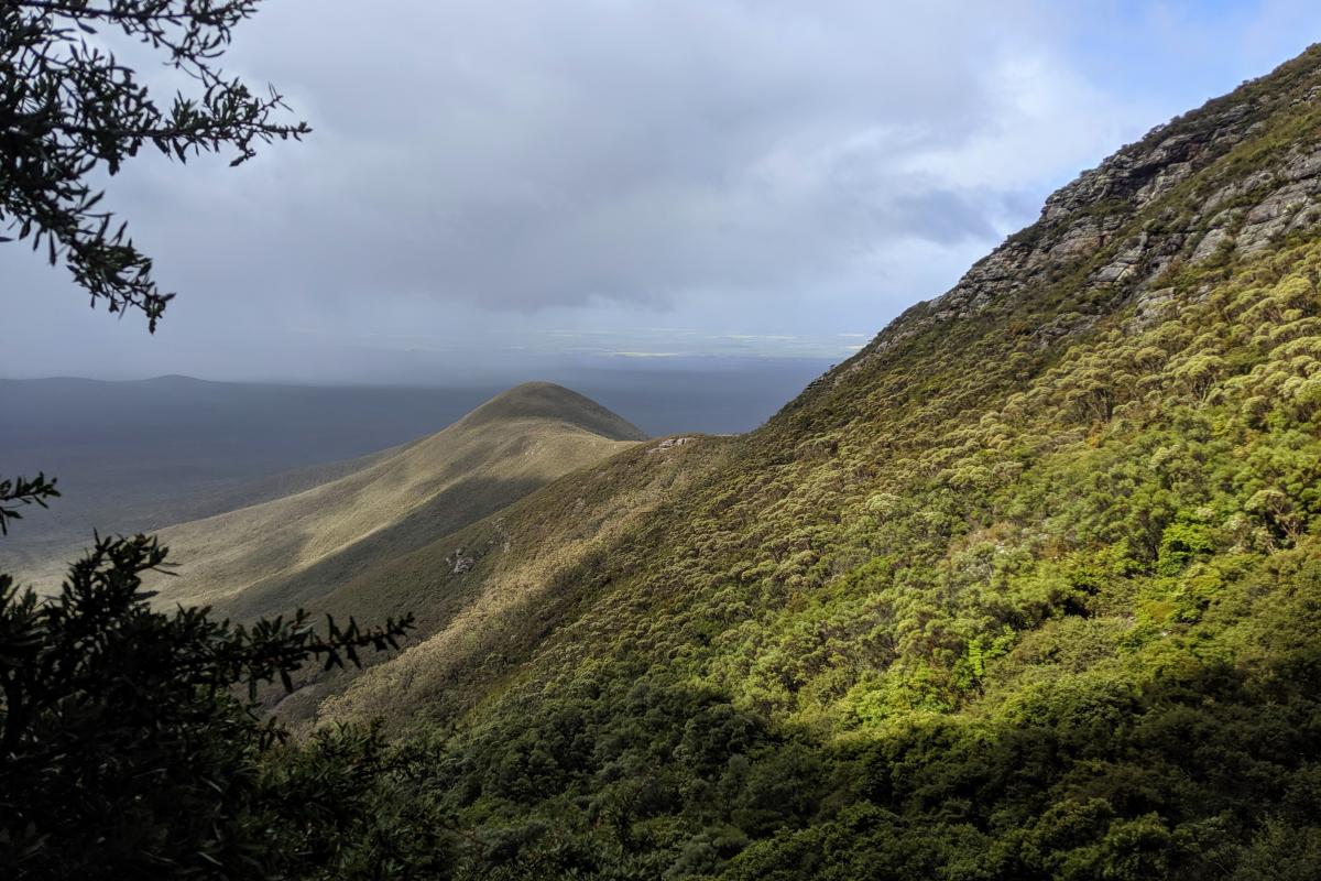
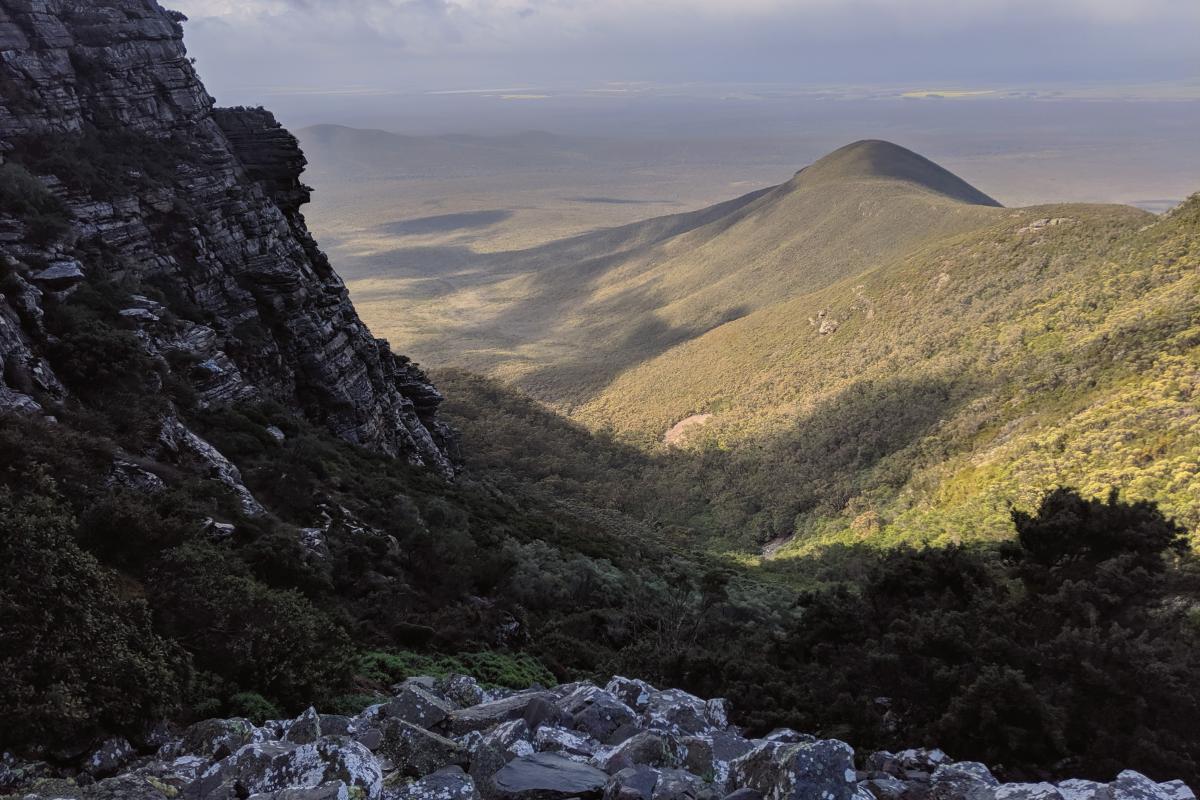
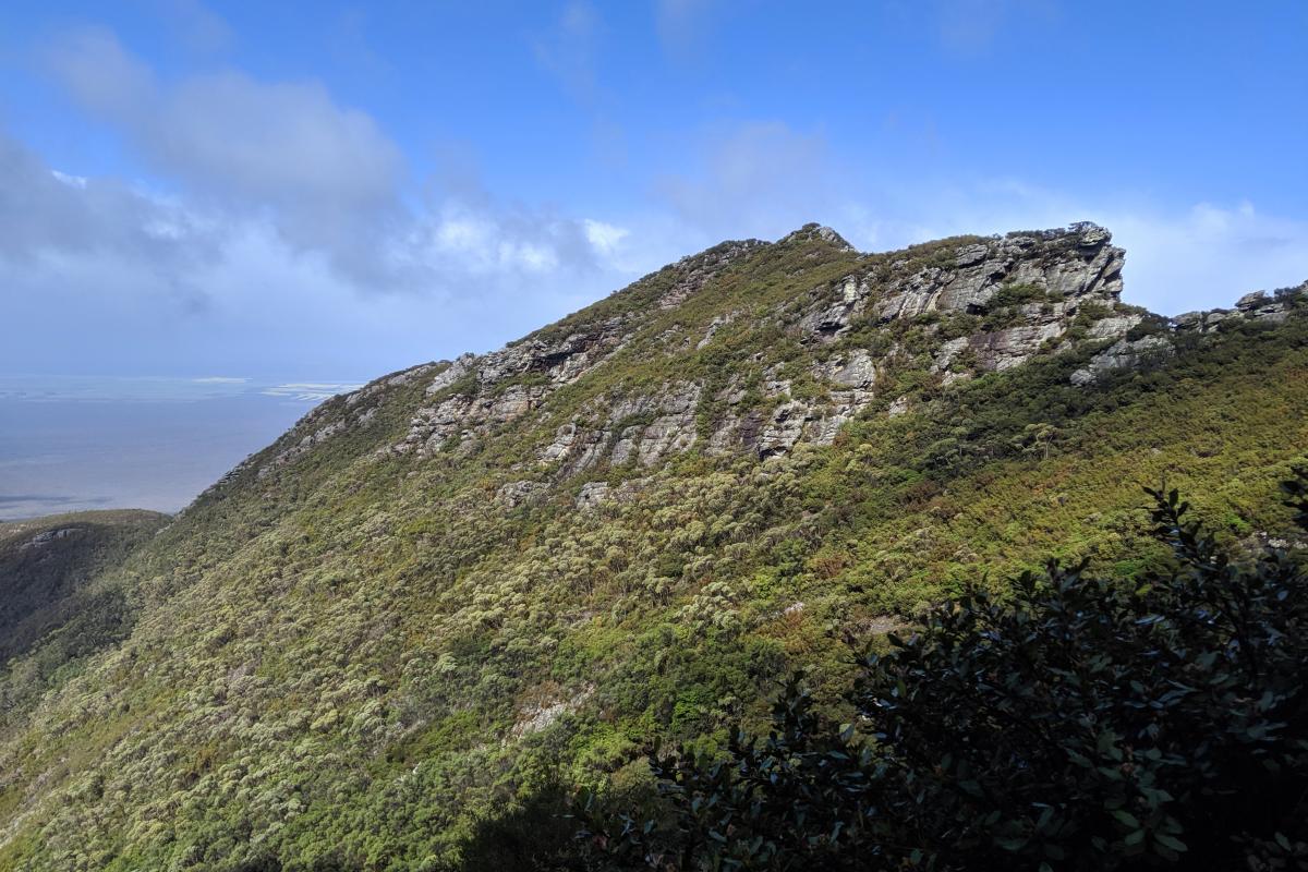
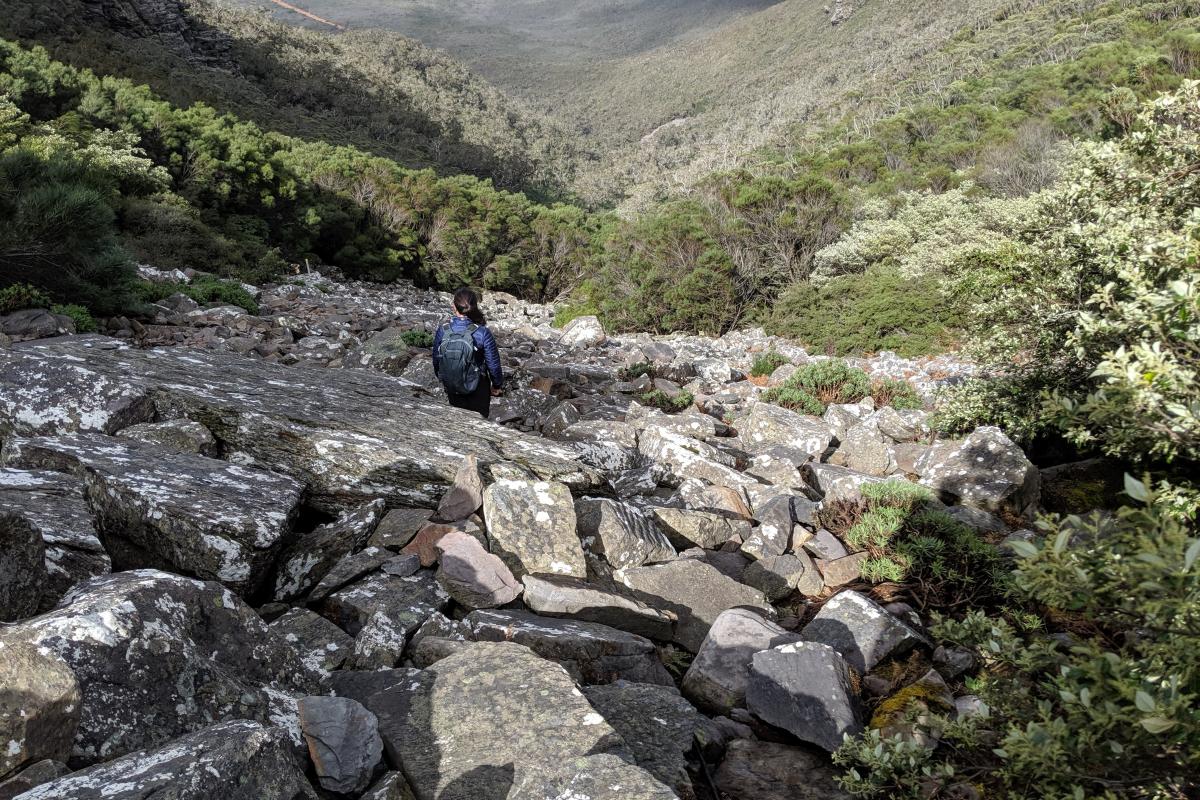
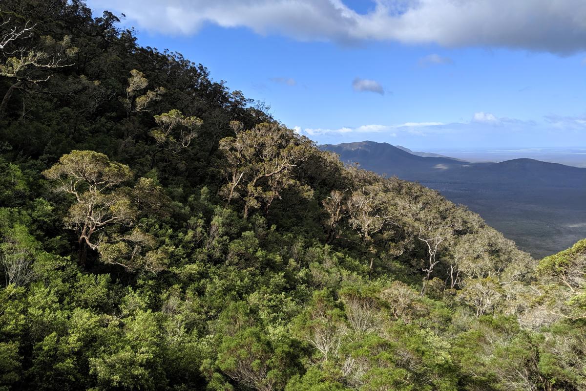
Starting at the parking area and travelling through woodland, the trail mostly follows a creek and gets progressively steeper. Beyond the woodland, the trail rises over large boulders, loose rocks and steep scree leading to a saddle near the top of the south-west buttress. From here it’s a short, steep scramble to the top.
During spring, those who reach the upper slopes will be rewarded with beautiful mountain bells and southern cross flowers.
Safety information
Plan when to visit. Consider travelling with a personal location beacon (PLB). In the event you need to be rescued it could save your life!
Western Shield - The Department of Biodiversity, Conservation and Attractions undertakes 1080 baiting at this location to reduce the impacts of feral cats and foxes on native wildlife.
Meat baits containing 1080 poison are laid in or around this area on an ongoing basis. 1080 is poisonous to humans and will kill domestic cats and dogs. Pets are not permitted in this park.
For further information contact your local Parks and Wildlife Service office or visit Western Shield.
Gallery
Activities
 Bushwalking
Plants, wildlife and fungi
Visit the Atlas of Living Australia for a list of species recorded within a 5km radius of Toolbrunup Peak.
Traditional Owners
We recognise and acknowledge Goreng and Menang people as the Traditional Owners of Stirling Range National Park.
