About this park
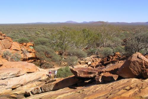
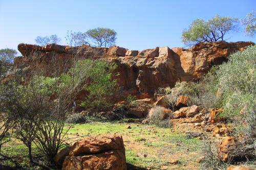
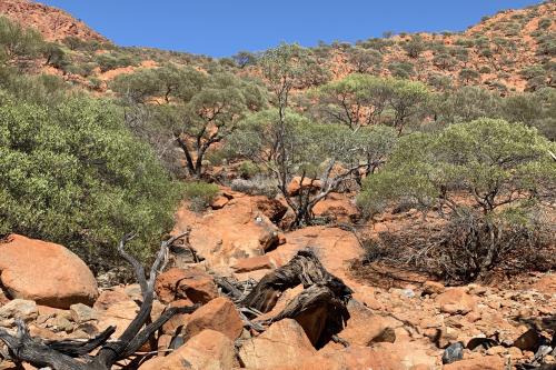
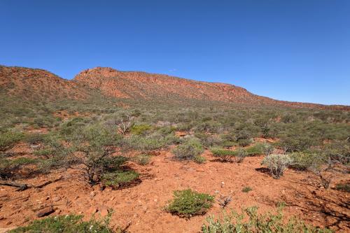
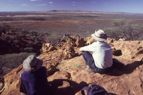
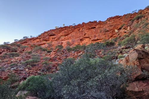
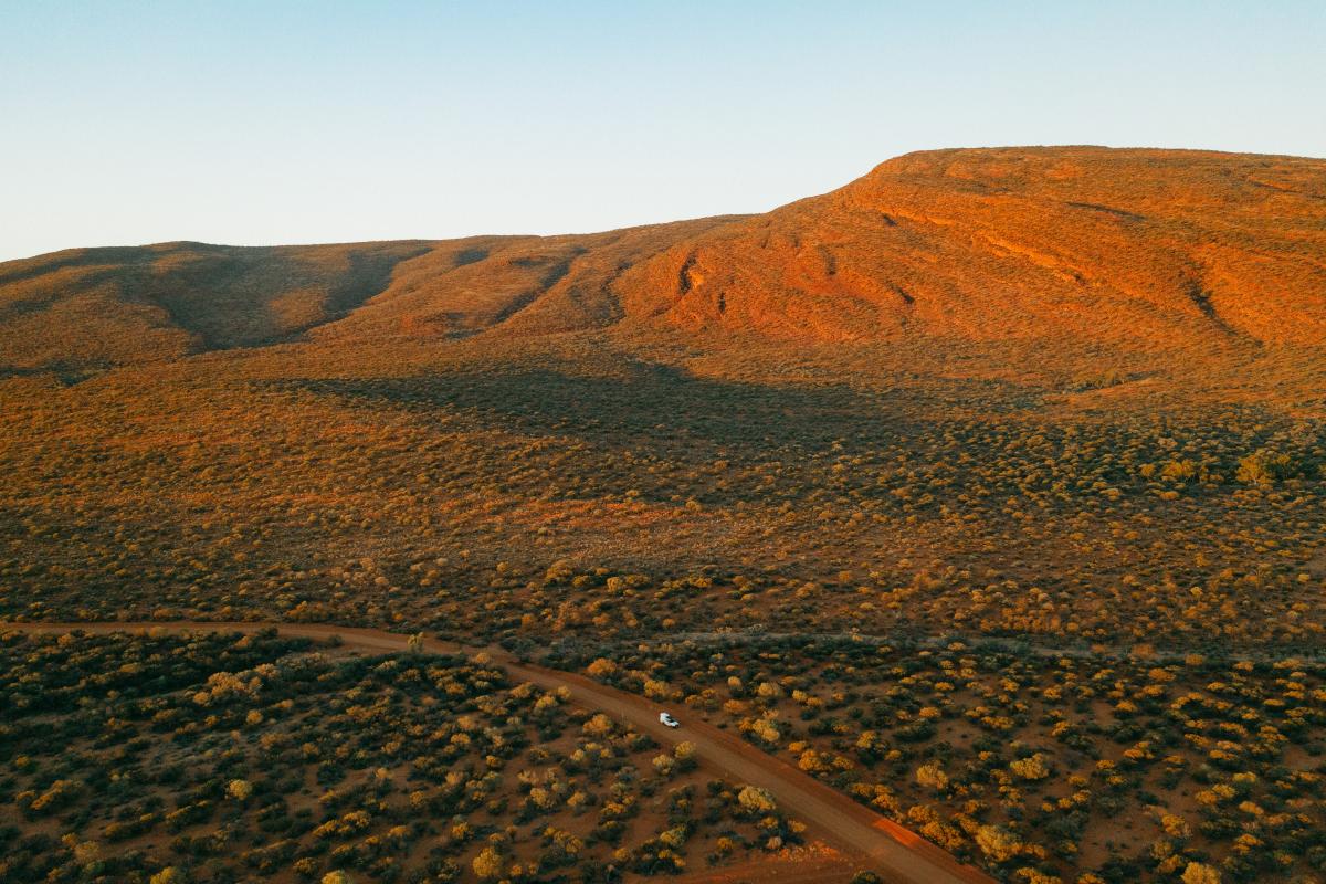
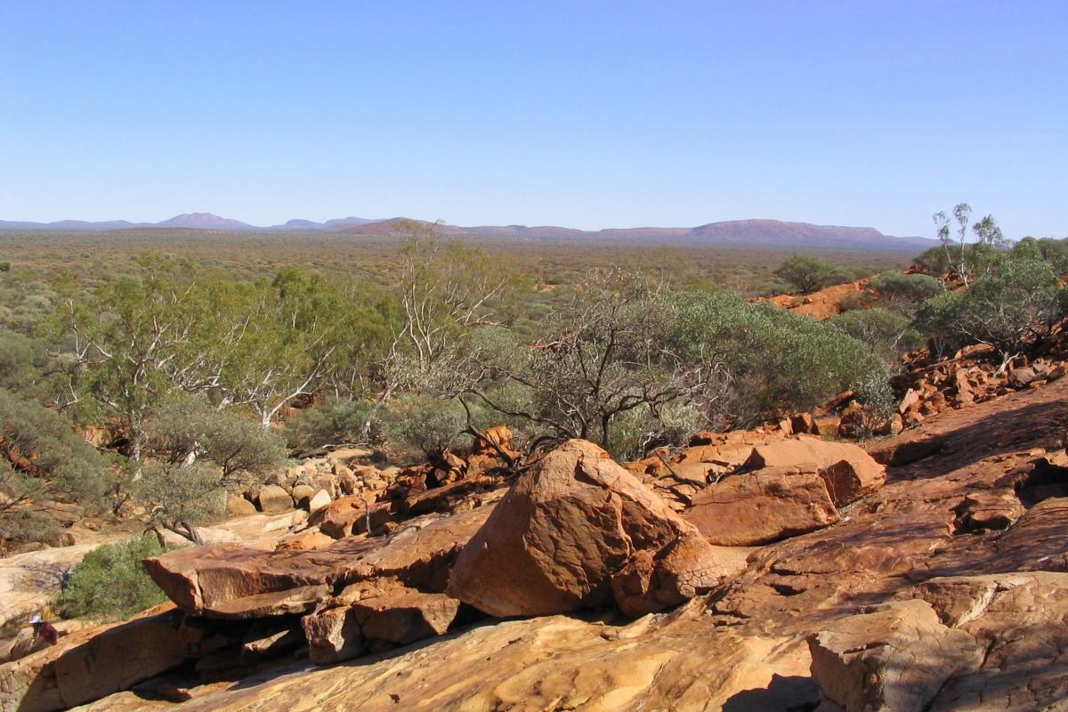
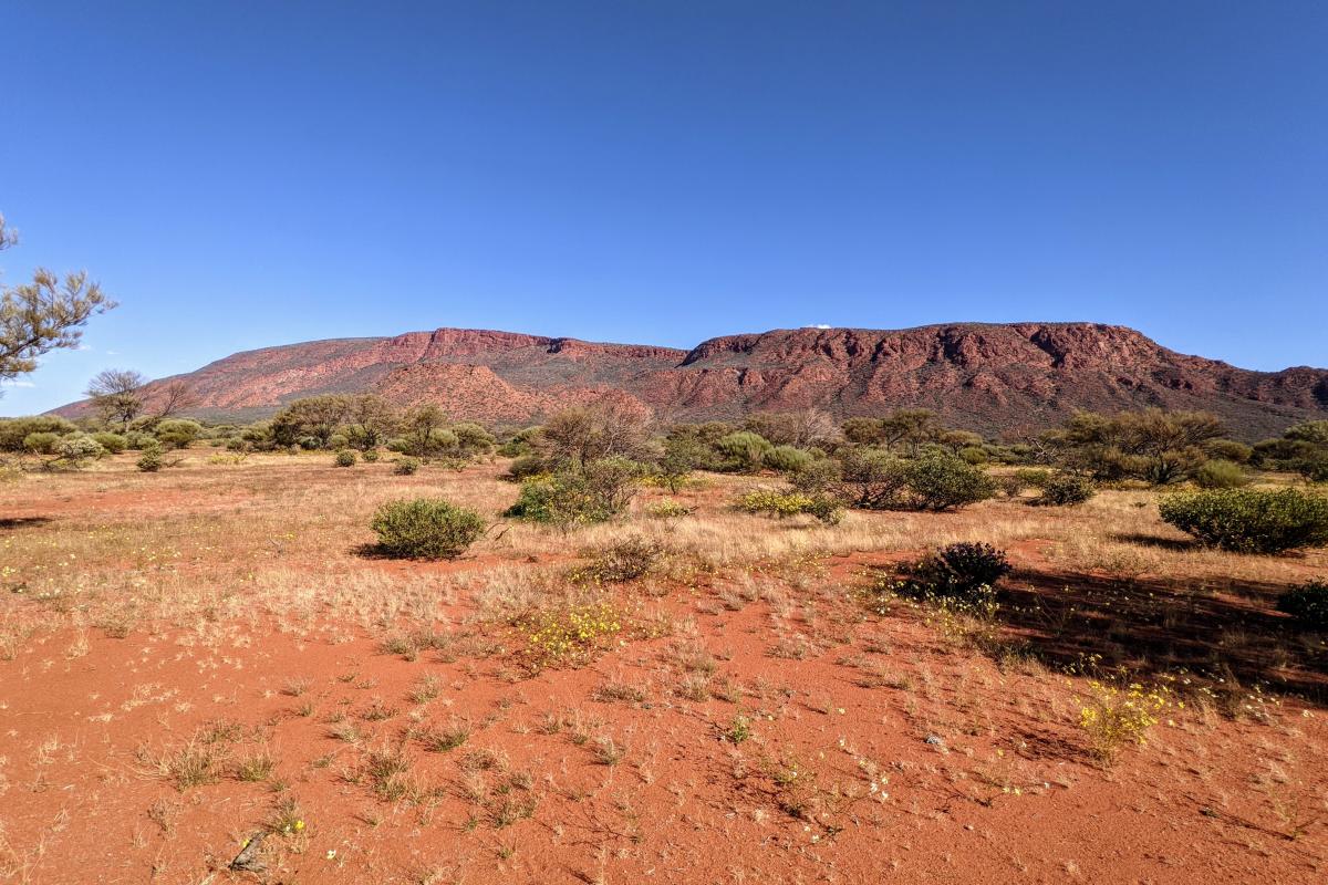
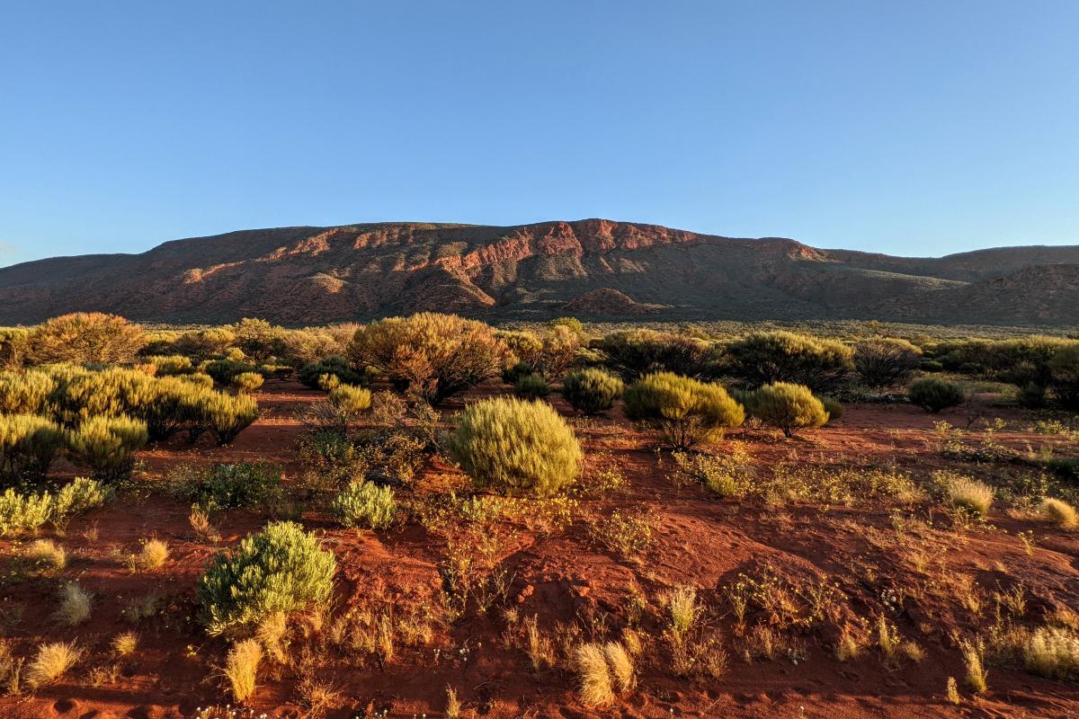
Marvel at the sheer scale and fascinating ancient geology of Mount Augustus (Burringurrah) on a 45km 2WD friendly Loop Trail, which allows access to all places within the park including Aboriginal rock engravings (petroglyphs), gorges and open plains.
You might be lucky enough to see wildlife including bungarras (goannas), perenties, euros and birds of prey - particularly at dawn and dusk. With the landscape ablaze with vibrant hues, your selfies will never look better.
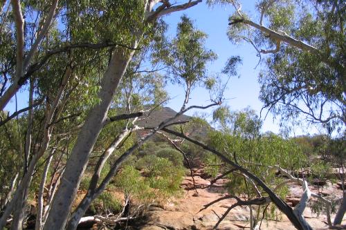
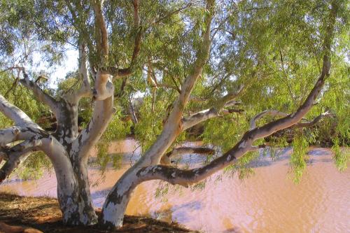
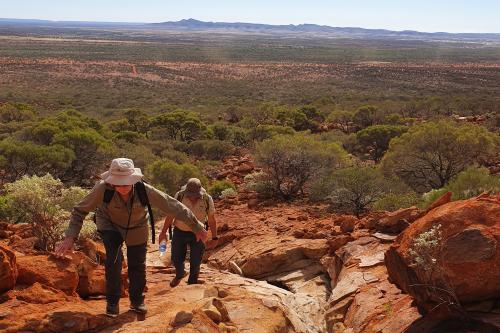
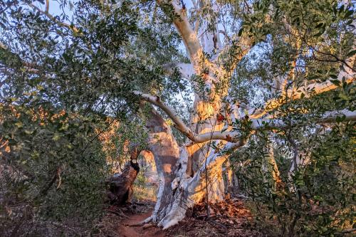
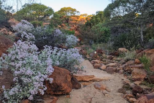
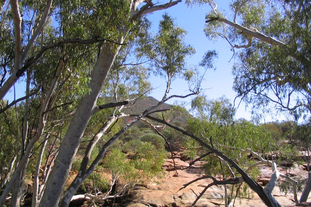
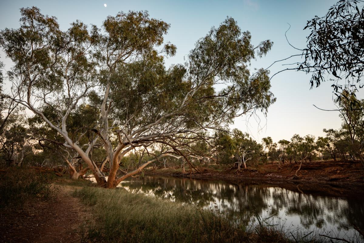
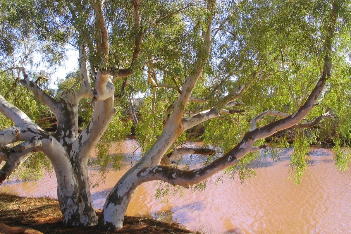
Choose from the many walks on offer from a saunter through shady groves of gnarly white-barked river red gums. In cooler months, fit and appropriately equipped experienced bushwalkers take on the challenging climb to the summit to soak up the views.
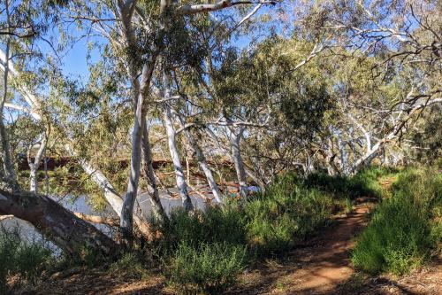
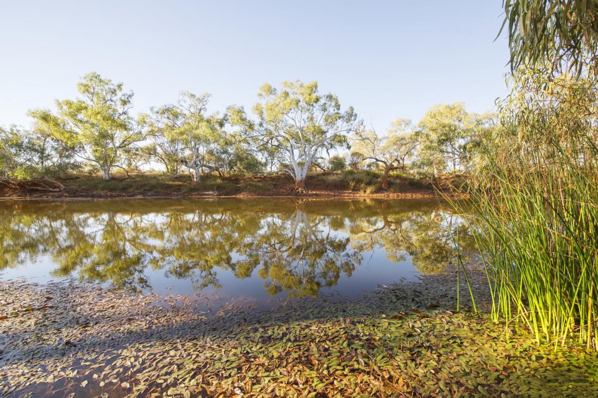
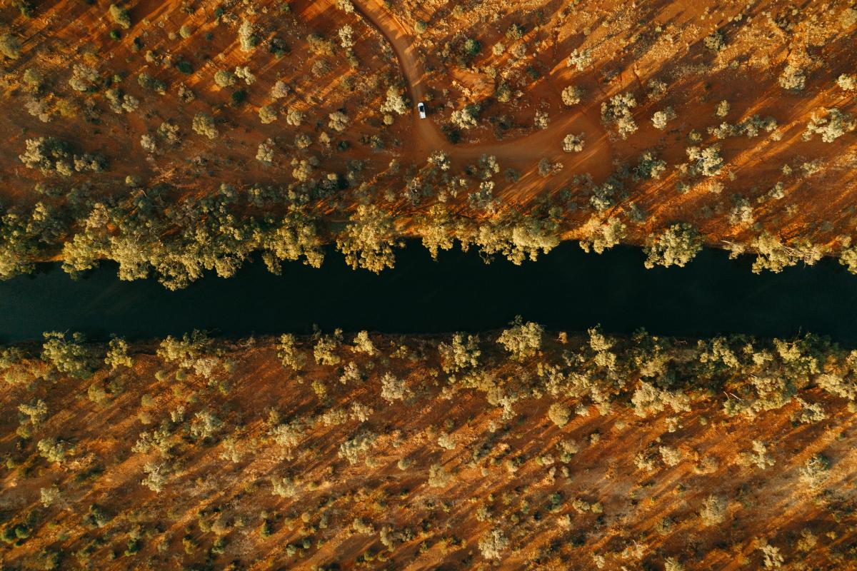
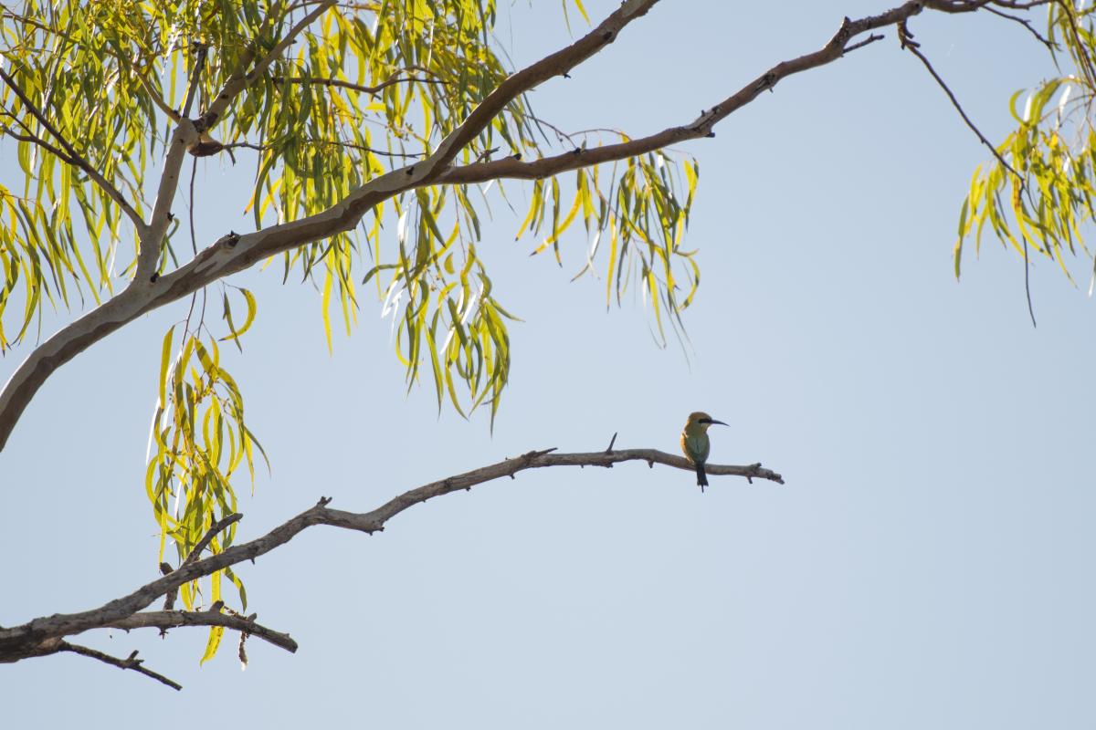
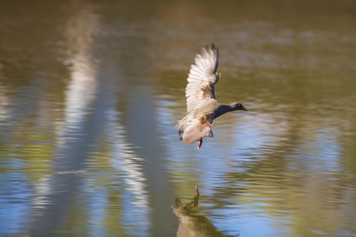
Take a refreshing dip or unload the canoe at Cattle Pool – a natural permanent pool bustling with birdlife including blue-winged kookaburras and sacred kingfishers.
Review - Simply Stunning
This is one of those places I had been wanting to go to for a long time and I was not disappointed. The fact that is it a long way away from anywhere adds to its allure. The remoteness of the location is awe inspiring. KeithMac – Trip Advisor
Safety information
Plan when to visit. Read this safety information about hiking at Mount Augustus, bushwalking and paddling. Consider travelling with a personal location beacon (PLB). In the event you need to be rescued it could save your life!
The risks from exposure and dehydration are significant in this area. During the hotter months (September to April) these risks are extreme and temperatures can often exceed 40°C. Radiant heat from the rocks can increase the temperature by 5-10 degrees celsius. Prepare well for your hike:
- Avoid hiking in hot weather – hike in the coolest times of the day. Temperatures can be extreme, exceeding 40°C. Radiant heat from the rocks can increase the temperature by 5 – 10 degrees Celsius.
- Plan and prepare – Use this form to provide a trusted responsible person with enough detail of your travel plans so they can get help if required. Ask them to raise the alarm if you haven’t returned and/or contacted them by the agreed time.
- Start slowly - spend a few days hiking shorter trails before considering longer hikes.
- Hike in groups - of three or more experienced hikers to allow for emergencies and stay on marked trails.
- Physical fitness - Use trail classification information to choose trails that match your fitness level. Know your limits!
- Water - Carry and drink a minimum of one litre per person, per hour when hiking and more in hotter weather. There is no drinking water in the park.
- Dress appropriately - Wear a broad brimmed hat, loose long-sleeved clothing, sturdy footwear and sunscreen.
- Carry a Personal Locator Beacon (PLB) - or satellite phone, it could save your life. Mobile phone coverage is extremely limited.
- Weather - Take note of the weather before you leave and be prepared for unexpected weather changes.
- Take care – only walk as fast as your slowest group member and watch out for their wellbeing. Stop frequently to let them catch up and rest.
If attempting the Summit Trail:
- Spend a few days hiking shorter trails before considering your ability to tackle this challenging trail.
- Only very fit and experienced bushwalkers should attempt this full day, very challenging hike.
- Fill out the Summit Hiking Form and leave on your vehicle dashboard. Also available from Mount Augustus Tourist Park.
- Heat stress can kill - some hikers have not survived this trail.
- It’s hard work going up – it’s even harder coming back down.
- Rescues put other lives at risk and can take time as there is no rescue helicopter in this region.
The Summit Trail is:
- open – May to August.
- closed after 7am – September, October, March and April. Start your hike before 7am in these months.
- closed – November to February.
• Know your limits and turn back if you feel fatigued.
Gallery
Smartreka maps
Smartreka Maps, by WA Parks Foundation, make it easier for you to navigate your way around some of Western Australia's national parks.
Before you go, download geo-referenced maps of Mount Augustus National Park to your mobile device and locate yourself without the internet. Download the Avenza Maps app from the App Store or Google Play.
Please note: The app is free to use, and many maps are available at no cost. Some maps may incur a fee which is set by the WA Parks Foundation. All proceeds from these purchases directly support the work of the WA Parks Foundation.
Park feature article
Read the LANDSCOPE article about Mount Augustus National Park.
Know before you go - Mount Augustus
Read more about hiking and staying safe while visiting Mount Augustus National Park.
Activities
 Bushwalking
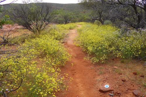
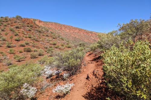
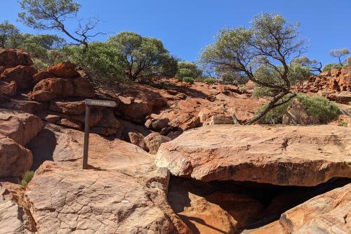
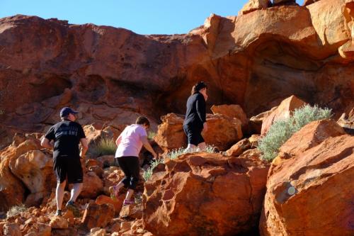
There are a range of trails of varying degrees of length and difficulty. Spend a few days doing shorter hikes before considering the longer and much more difficult trails. All trails in the park are essentially unmodified, often steep and with limited directional signage on the difficult trails. Hikers should download the Mount Augustus National Park Burringurrah visitor guide and visit Trails WA for more information on each trail.
The following walking trail classifications apply to Mount Augustus hikes. Please respect the Wajarri Traditional Owner’s request that visitors do not walk the mount at night for reasons of safety and heritage protection.
Class 3
Moderate hiking trail with clear directional signage. May include minor natural hazards such as short, steep sections, steps, and unstable or slippery surfaces. An average level of fitness is needed.
Class 5
Challenging, rough, unformed trail with very difficult sections and limited directional marking. You may encounter natural hazards such as long, steep sections, rock scrambles, and frequent unstable or slippery surfaces. Only for self-reliant, very experienced bushwalkers with a high level of fitness.
 Canoeing and kayaking
Plants, wildlife and fungi
Visit the Atlas of Living Australia for a list of species recorded in Mount Augustus National Park.
Traditional Owners
Mount Augustus National Park is jointly managed by the Department of Biodiversity, Conservation and Attractions and the Wajarri Yamaji Aboriginal Corporation as part of the State Government's Plan for Our Parks initiative. For more information, please visit Plan for Our Parks.
