About this park
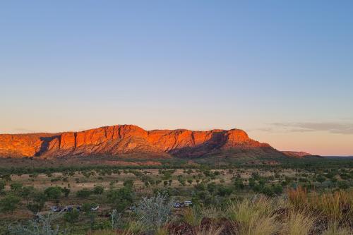
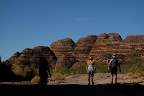
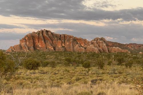
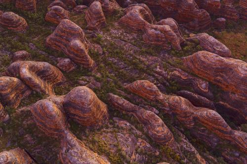
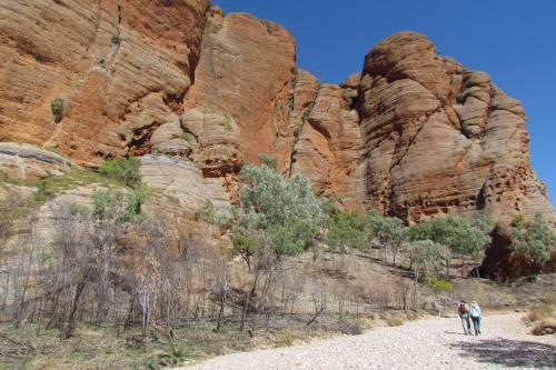
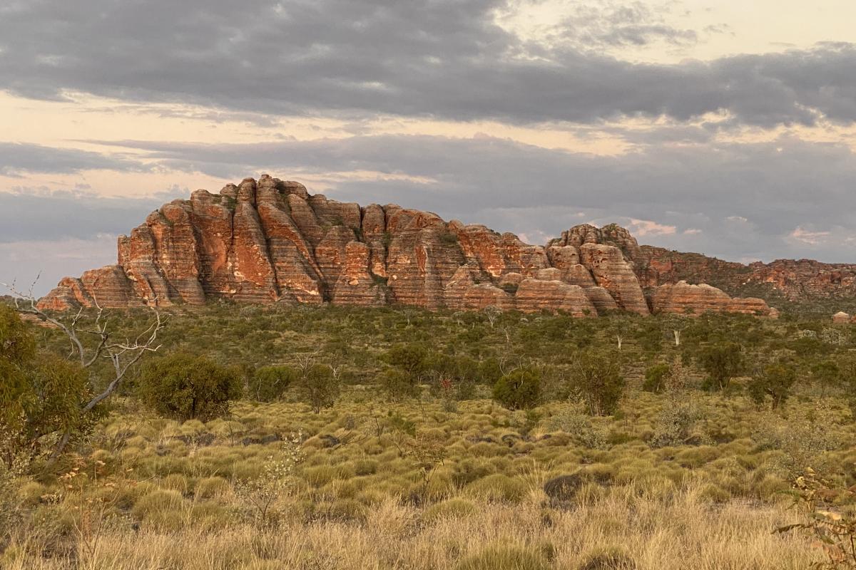
Purnululu National Park is UNESCO World Heritage Listed and for good reason! Check out the 350-million-year-old, striped sandstone domes of the Bungle Bungle Range or wander along ancient creek beds and through striking gorges that transform into a golden paradise late in the day.
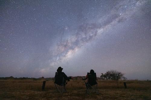
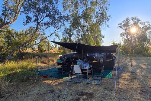
Load up the four-wheel drive and visit in the dry season during April to November (subject to weather and road conditions) and camp at one of the two campgrounds in the park.
Make sure you check in at the Purnululu Visitor Centre to learn more about the park, pick up a souvenir and ask the friendly staff any questions or queries you may have regarding this spectacular part of the Kimberley.
The park is 304km from Kununurra and 160km from Halls Creek by road. It covers an area of 239,723 hectares and is situated between Purnululu Conservation Reserve and the Ord River Regeneration Reserve.
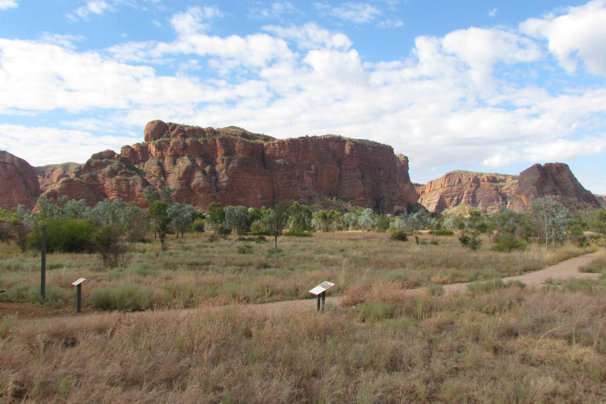
The Bungle Bungle Range covers an impressive 45,000 hectares and is renowned for its striking banded sandstone domes and dramatic gorges. There are 14 walk trails divided into two distinct areas: the northern and southern ends of the range, each offering a unique landscape and experience.
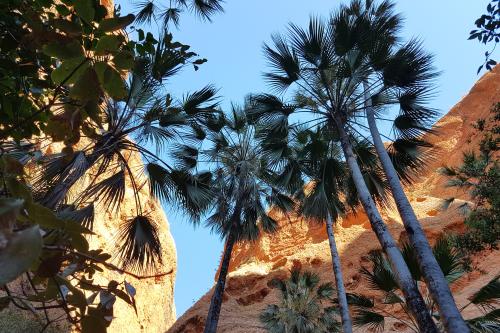
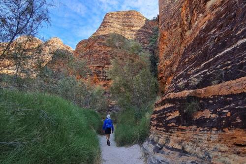
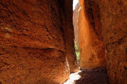
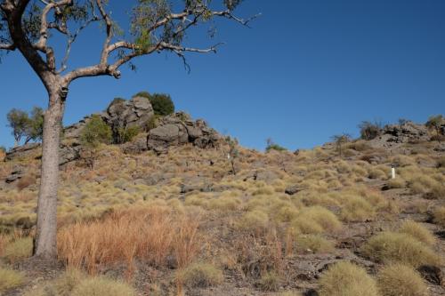
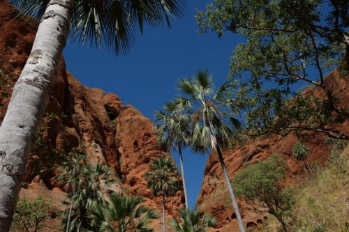
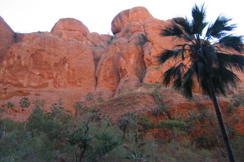
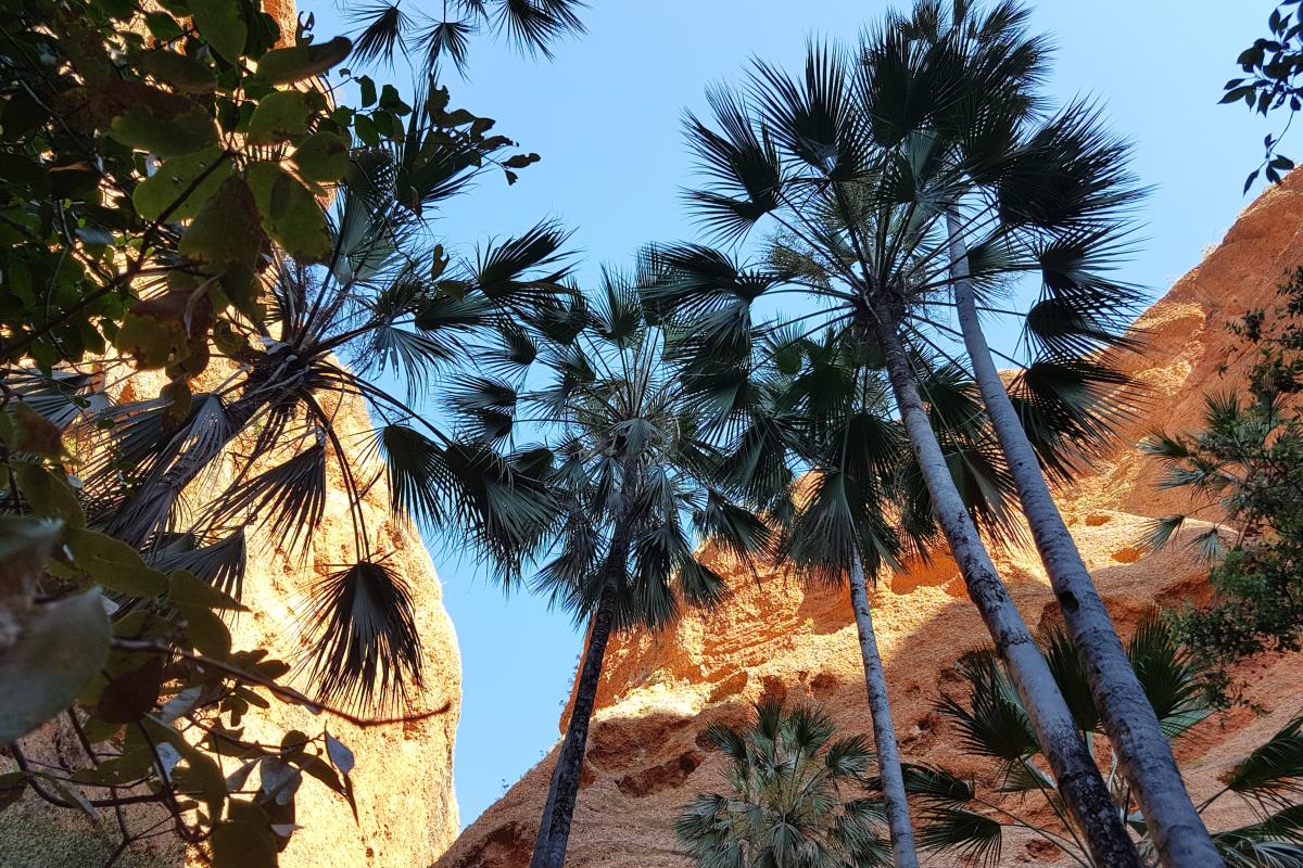
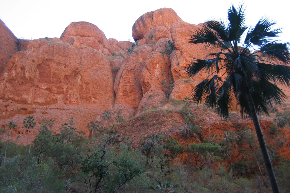
In the northern end, you'll encounter open woodlands and spinifex hummocks, as well as hidden chasms and towering cliffs lined with Livistona palms. Highlights of this area include Echidna Chasm, Mini Palms Gorge, and Homestead Valley.
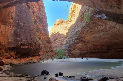
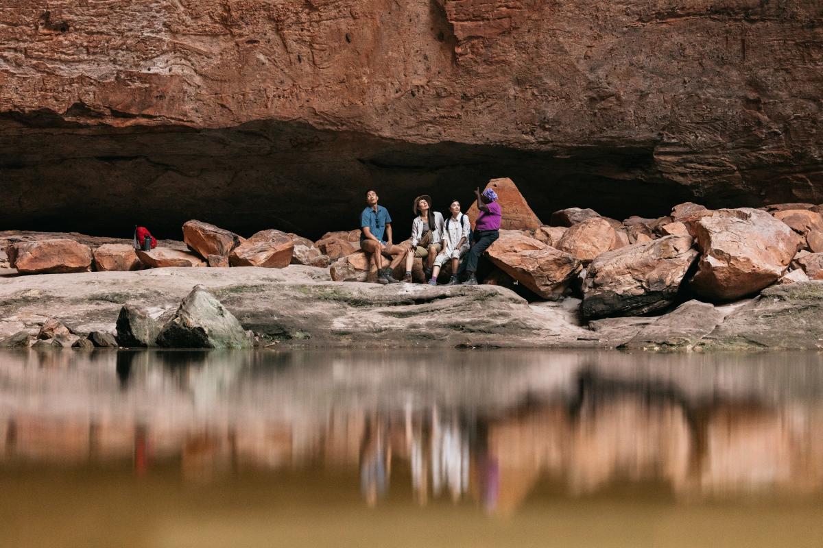
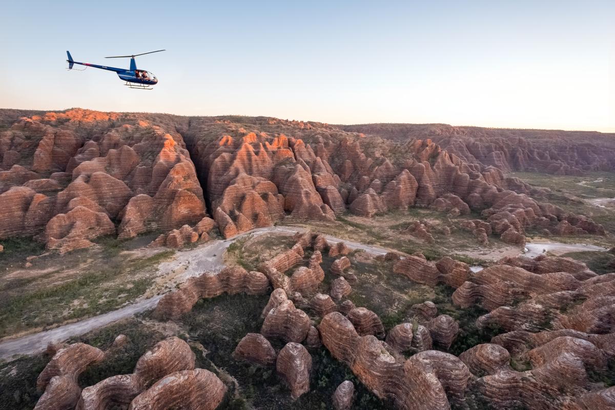
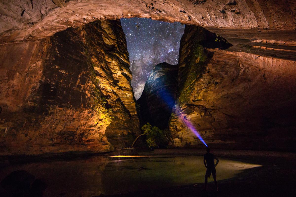
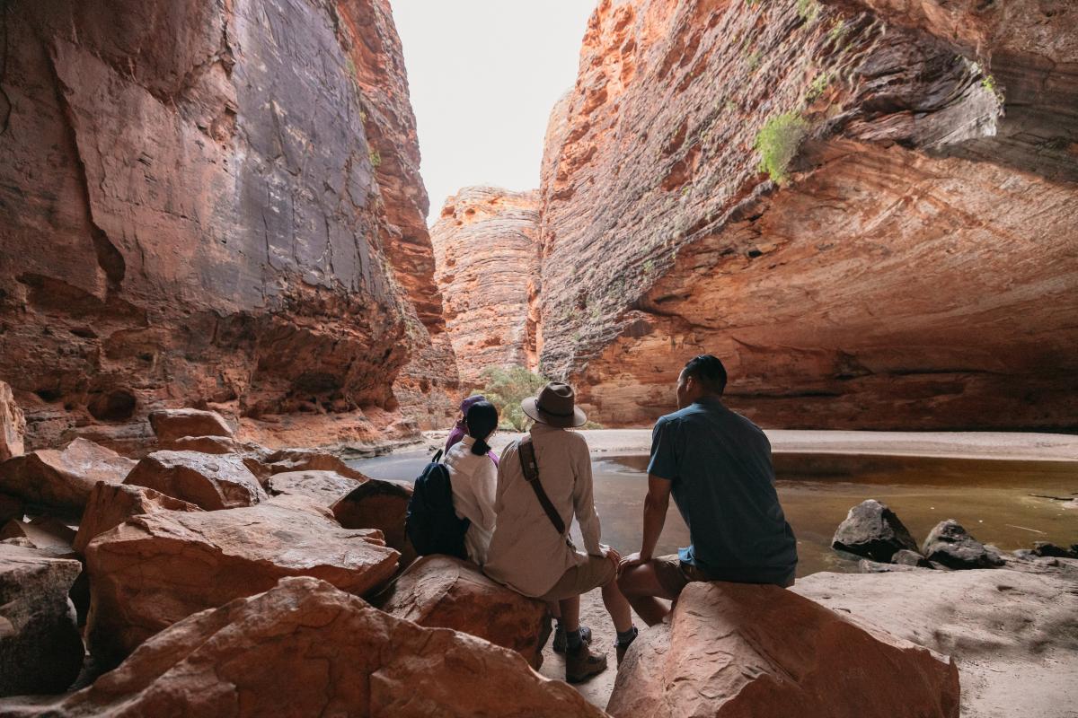
The southern end is home to the iconic beehive-shaped domes, along with the awe-inspiring Cathedral Gorge and Piccaninny Creek. This part of the range showcases the dramatic geological formations that have made the Bungle Bungles world-famous.
Please don’t underestimate the size of the park. It is 47km (80-minute drive) from the northern end to the southern end. Allow at least two nights to appreciate and explore this incredible place.
Safety information
Plan when to visit and be prepared. Read this safety information about bushwalking, planning your activity, being prepared and travelling in remote locations. Consider traveling with a personal location beacon (PLB) or satellite phone. In the event you need to be rescued it could save your life!
- Wifi, phone reception: There is INTERMITTENT OPTUS coverage in Purnululu National Park and free wifi is available at the visitor centre. There is NO PHONE service driving into or within the park.
- Heat: Temperatures can be extreme, exceeding 40°C during the day and radiant heat can increase the temperature to over 50°C.
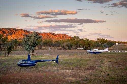
- Helicopters: Helicopters fly throughout the park. Do not wave at helicopters unless there is an emergency.
- Water: Untreated bore water is available but must be treated before consuming.
- Travel plans: always tell someone where you will be heading.
- Seasonal closures: due to wet season, the park closes generally between November to April. Check Park Alerts before you go.
Purnululu National Park is a drone free area - unauthorised drone use is strictly prohibited.
Walking in Purnululu National Park
- Wear a hat, long sleeve loose clothing, broad spectrum sunscreen and sturdy walking shoes.
- Carry and drink 1 litre of water per hour of walking per person. Avoid dehydration by drinking small amounts regularly.
- Take regular rest stops in the shade to cool down and walk in the cooler parts of the day.
- Stay on marked trails.
Driving into the park
- The Spring Creek Track is 53km from the highway but allow 1.5–3 hours to drive. It can be accessed by high clearance 4WD only.
- There is no fuel available in the park—please ensure you have enough fuel for a minimum of 300km.
- Single-axle towable units only. Dual-axle towable units are not permitted.
- Reduce tyre pressure for a smoother ride—refer to vehicle manual for recommended deflation pressure.
- The track is natural earth, not paved or sealed and is corrugated, winding and has hills and numerous creek crossings.
- Drive slowly and carefully. Maximum speed limit on the track is 50km per hour. Drive to conditions and look out for livestock and wildlife.
- Please stop and read the information signage at the entry to the Spring Creek Track.
- In case of a breakdown:
- DO NOT LEAVE YOUR VEHICLE.
- If able, move vehicle to edge of track.
- Raise the bonnet to indicate assistance is required.
- Wait for the next vehicle to approach.
- Remote travel vehicle considerations - check your vehicle before departing and prepare it for remote locations and off-road driving.
- In an emergency:
There is intermittent Optus signal at the visitor centre and campgrounds. In case of an emergency:- Purnululu Visitor Centre (08) 9168 7300
- UHF Channel 1 DUPLEX – Northern end
- UHF Channel 4 DUPLEX – Southern end
- Warmun Police facility (08) 9167 8437
- Halls Creek Police Station (08) 9168 9777
Gallery



Smartreka maps
Smartreka Maps, by WA Parks Foundation, make it easier for you to navigate your way around some of Western Australia's national parks.
Before you go, download geo-referenced maps of Purnululu National Park to your mobile device and locate yourself without the internet. Download the Avenza Maps app from the App Store or Google Play.
Please note: The app is free to use, and many maps are available at no cost. Some maps may incur a fee which is set by the WA Parks Foundation. All proceeds from these purchases directly support the work of the WA Parks Foundation.
Park feature article
Read the LANDSCOPE article about Purnululu National Park.
Showcasing World Heritage Listed Purnululu National Park
Discover the unique beauty and cultural significance of Purnululu National Park through an immersive experience on Google Arts & Culture. Dive into breathtaking images and stories that bring this UNESCO World Heritage site to life from anywhere in the world!
Caring for Country
This park has been reserved for conservation and protection. While you are visiting follow these principles to help care for the area.
- Plan ahead and prepare - Your enjoyment and safety are our concern but your responsibility.
- Travel and camp on durable surfaces - Stay on the roads and tracks to protect the park.
- Respect wildlife - Do not disturb or take animals, plants or rocks. Pets, firearms and fishing are not permitted.
- Leave what you find.
- Campfires are not permitted in Purnululu National Park.
- Dispose of waste properly - Take your rubbish with you. Bins are not provided.
- Be considerate of your hosts and other visitors - Some activities might affect wildlife and the experiences of other visitors. Take note of information about the cultural significance of places that you visit and treat them with respect.
Additionally, to preserve this fragile land now and for the future, the Gija and Jaru people ask you to:
- Respect the cultural significance of this ancient landscape by walking only on marked walking trails.
- Leave everything as you find it including plants, animals and geological formations. Take only photos – leave only footprints.
- Do not climb on any rock structures. The rocks here are very fragile, and sections can break off easily.
- Obey park signage and warnings. We want you to be safe and enjoy your stay.
Activities
 Bird watching
 Bushwalking
 Camping
 Glamping
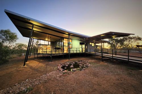
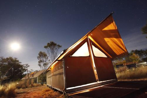
Glamping accommodation lodges are privately owned and must be booked in advance. Two privately run camps are situated along the Bellburn Creek. To book, contact Kununurra Visitor Centre on (08) 9168 1177.
 Nature photography
 Overnight hiking
 Scenic flights
Plants, wildlife and fungi
Visit the Atlas of Living Australia for a list of species recorded in Purnululu National Park.
Traditional Owners
We recognise and acknowledge Gija and Jaru people as the Traditional Owners of Purnululu National Park.
